
Stake attention in this memory
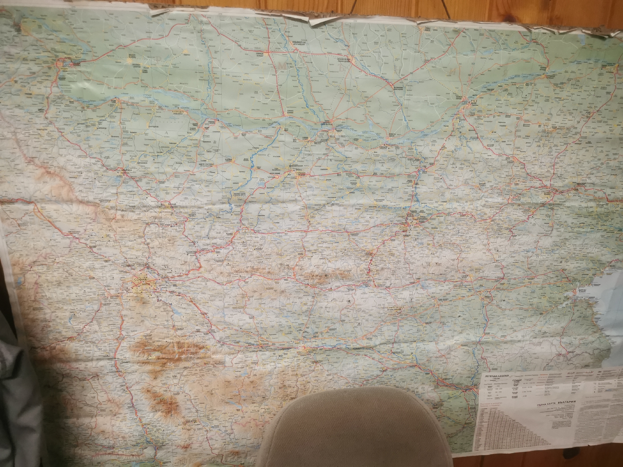
The image is a full, uncropped shot of a large, unfolded paper map of Bulgaria, predominantly featuring the country's road network. The map is affixed to a wooden-paneled wall. At the bottom right corner of the map, a section is visible with legends and indices, including the heading "ПЪТНА КАРТА НА БЪЛГАРИЯ" (Road Map of Bulgaria). The city of Stara Zagora is clearly labeled on the map, with the surrounding region also visible. The map shows numerous towns, cities, roads (indicated by red and blue lines), rivers, and topographic features. A portion of a light brown, upholstered chair is visible in the foreground, partially obscuring the lower center of the map. The lighting suggests an indoor environment, possibly a room with wood-paneled walls.
Loading AttnAds…
No transactions found