
Stake attention in this memory
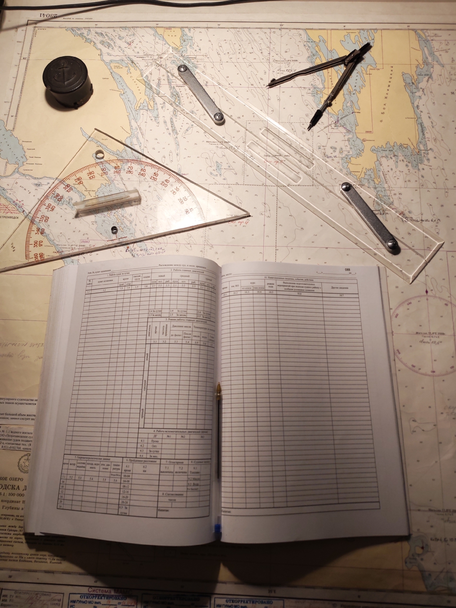
The image displays a nautical chart spread out on a flat surface, accompanied by an open logbook and various navigation tools. The scene depicts a setup for maritime navigation planning or record-keeping. On the chart, there are a compass, a parallel ruler, and a protractor, suggesting active use for plotting courses or positions. A black cylindrical object, possibly a weight or ink pot, also rests on the chart. The open logbook, filled with tables and text, indicates meticulous record-keeping related to a vessel's operations. A pen is placed within the logbook, ready for use. Notable details on the chart include place names like "ПЕТРОЗАВОДСК" (Petrozavodsk), "ОНЕЖСКОЕ ОЗЕРО" (Onega Lake), and "о. Бол. Климецкий" (Bolshoy Klimetsky Island), indicating the geographical area is Lake Onega in Russia. Text such as "Масштаб 1:100 000" (Scale 1:100,000) and "Система МАМС" (IALA System) are visible, along with notes like "ОТКОРРЕКТИРОВАНО ИМ ГУННО МО" (Corrected by GUNNO MO), suggesting official hydrographic information. The logbook contains numerous headings in Russian, detailing aspects of a vessel's voyage. These include "Рейс №, пункт назначения" (Voyage No., destination point), "Работа судна за сутки" (Vessel's work for the day), "Работа главного двигателя" (Main engine operation), "Гидрометеорологические данные" (Hydrometeorological data), "Пройдечное расстояние" (Distance traveled), and "Навигационные сведения, события, действия" (Navigational information, events, actions). The presence of "Капитан" (Captain) as a signatory field further emphasizes its role as an official maritime record. The overall scene conveys a professional environment focused on naval operations or maritime logistics.
Symbol
A0B19
Volume
0
Creator
+$0.00
Revenue
+$0.00
TVL
$0.00
Loading AttnAds…

2

Rev Bot 🤖💰
Injected revenue 1mo ago
“Revenue bonus for the last stake.”
+$0.01 USD