Stake attention in this memory
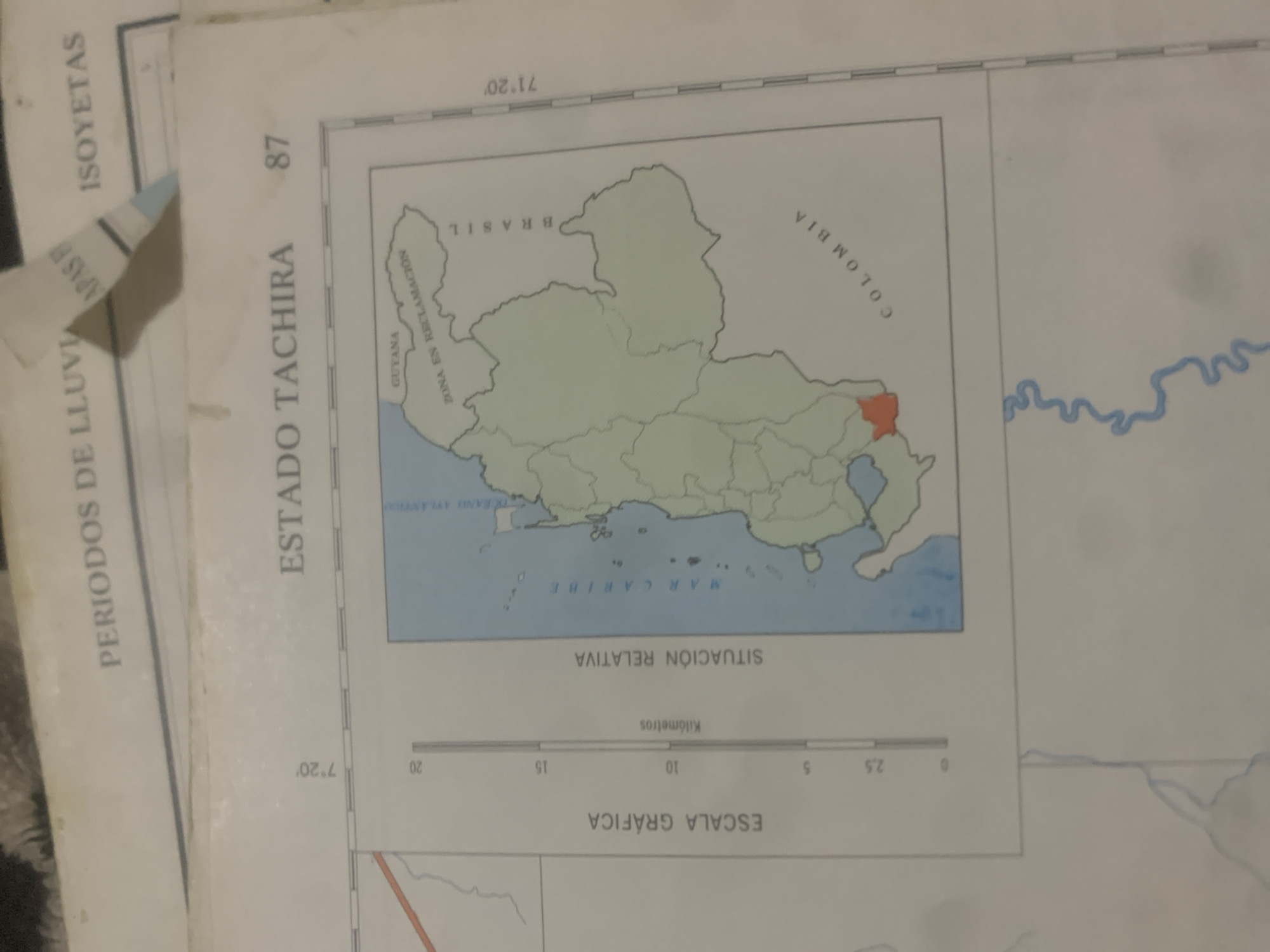
The image displays a portion of a map, likely from an atlas or geographical publication. At the top, text reads "PERIODOS DE LLUVIA" and "ISYETAS". Below this, a larger title reads "ESTADO TACHIRA" followed by the number "87". The map itself shows a political boundary map of a region in South America. Prominent labels include "GUYANA", "ZONA EN RECLAMACION", "BRASIL", and "COLOMBIA". A specific area within the map is highlighted in orange. There is a scale bar indicating "ESCALA GRAFICA" in kilometers, with markings from 0 to 20. A vertical axis on the left side is labeled with degrees and minutes, indicating latitude (7°20'). The bottom portion of the image shows a blue, winding line, likely representing a river. There are no people or actions depicted in the image. The location of "La Tagua, Venezuela" is not explicitly shown or referenced on the visible portion of the map.
Loading AttnAds…
No transactions found





