Stake attention in this memory
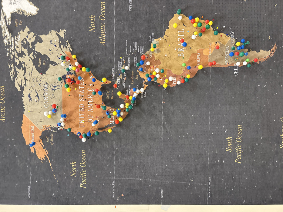
This image presents a detailed, overhead view of a physical world map, specifically featuring the continents of North America, Central America, and South America, along with surrounding oceans. The map displays landmasses in shades of brown and tan against a dark grey background, with ocean areas labeled "North Pacific Ocean," "North Atlantic Ocean," "Arctic Ocean," and "South Pacific Ocean" in golden serif text. Key countries such as "UNITED STATES OF AMERICA," "CANADA," "MEXICO," "BRAZIL," and "ARGENTINA" are clearly identifiable and labeled with similar golden text. Numerous spherical-headed pushpins, colored red, yellow, blue, green, and white, are embedded across the continents, marking specific locations. The map surface shows minor creasing, particularly along the left edge, and a faint speckled texture, possibly indicating a vintage style or wear. No individuals are present. The image provides no visual cues to determine its physical location in Florence, Italy.
No transactions found