Sign in
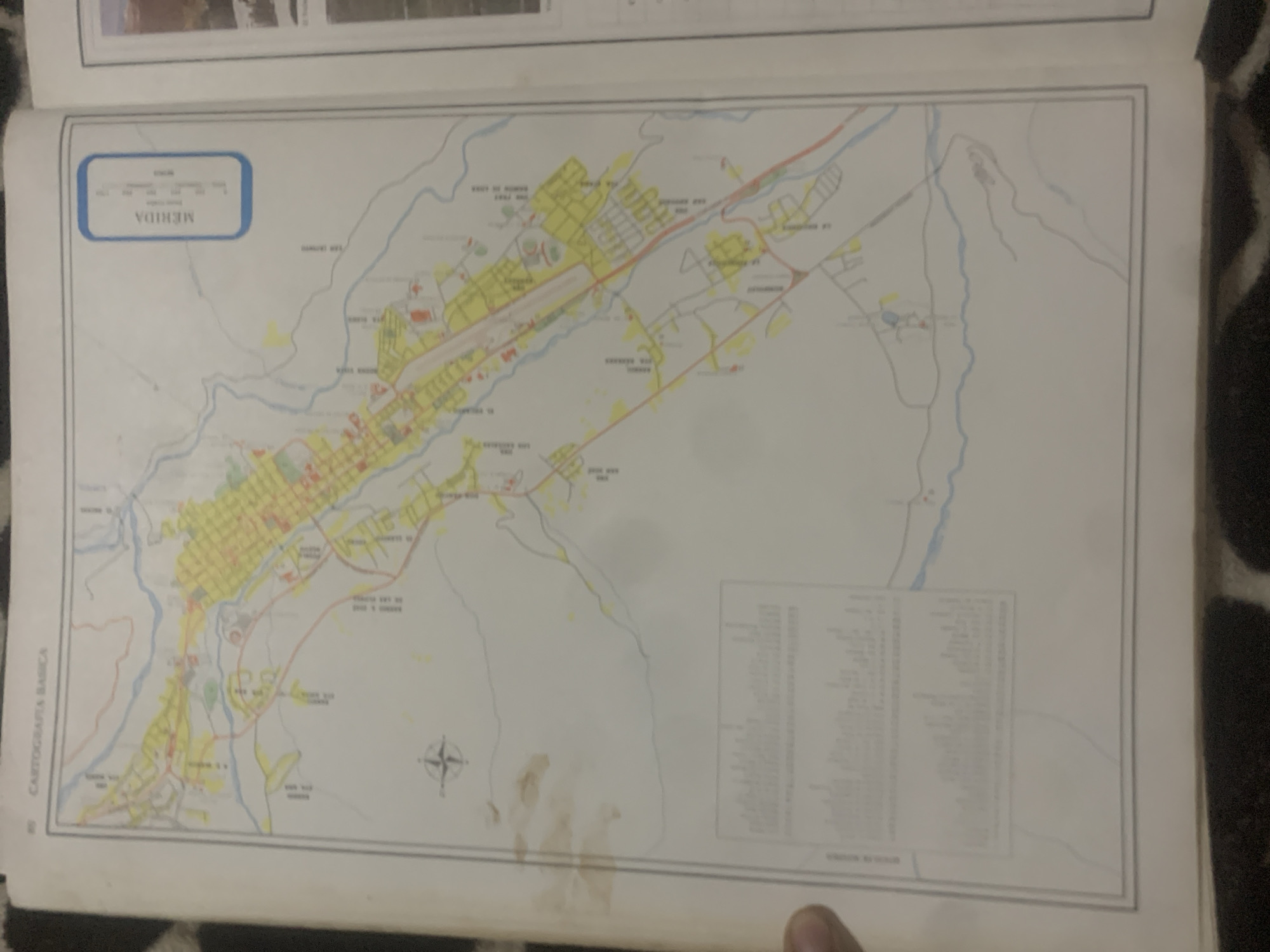
The image shows a map of Mérida, Venezuela, with the title "MERIDA" visible in the upper left corner within a blue box. The map depicts a city with roads, buildings colored yellow and red, and a prominent airport runway. Rivers and surrounding terrain are also illustrated. A compass rose is located in the lower right quadrant of the map.

To the left of the map, the text "CARTOGRAFIA BASICA" is vertically oriented. In the lower right section of the map, there is a table or legend with multiple columns of text, but it is largely illegible due to blurriness and resolution. The overall impression is that of a detailed urban planning or geographical map of the city of Mérida. The map is laid flat, suggesting it is part of a larger document or atlas. The lighting in the image is diffused, and there are some brown stains on the map's surface, particularly in the lower right area, possibly from water damage. The background appears to be a dark, textured surface, possibly fabric. No people are clearly visible, and the focus is solely on the map itself. The time of day and weather are not discernible from the image.
bombolico

Jun 25, 2026, 2:29 PM

La Tagua, Venezuela

Stake attention in this memory

nostalgic
curious
analytical
peaceful
reflective

The image shows a map of Mérida, Venezuela, with the title "MERIDA" visible in the upper left corner within a blue box. The map depicts a city with roads, buildings colored yellow and red, and a prominent airport runway. Rivers and surrounding terrain are also illustrated. A compass rose is located in the lower right quadrant of the map. To the left of the map, the text "CARTOGRAFIA BASICA" is vertically oriented. In the lower right section of the map, there is a table or legend with multiple columns of text, but it is largely illegible due to blurriness and resolution. The overall impression is that of a detailed urban planning or geographical map of the city of Mérida. The map is laid flat, suggesting it is part of a larger document or atlas. The lighting in the image is diffused, and there are some brown stains on the map's surface, particularly in the lower right area, possibly from water damage. The background appears to be a dark, textured surface, possibly fabric. No people are clearly visible, and the focus is solely on the map itself. The time of day and weather are not discernible from the image.

Loading AttnAds…

transactions
revenues
stakers
Earliest
Latest
Highest stake

No transactions found

More from this user

More from La Tagua

bombolico

Jun 25, 2026, 2:29 PM

La Tagua, Venezuela

Licensed under Creative Commons Attribution 4.0 International License. You are free to share and adapt this content with proper attribution.



