
Sign in
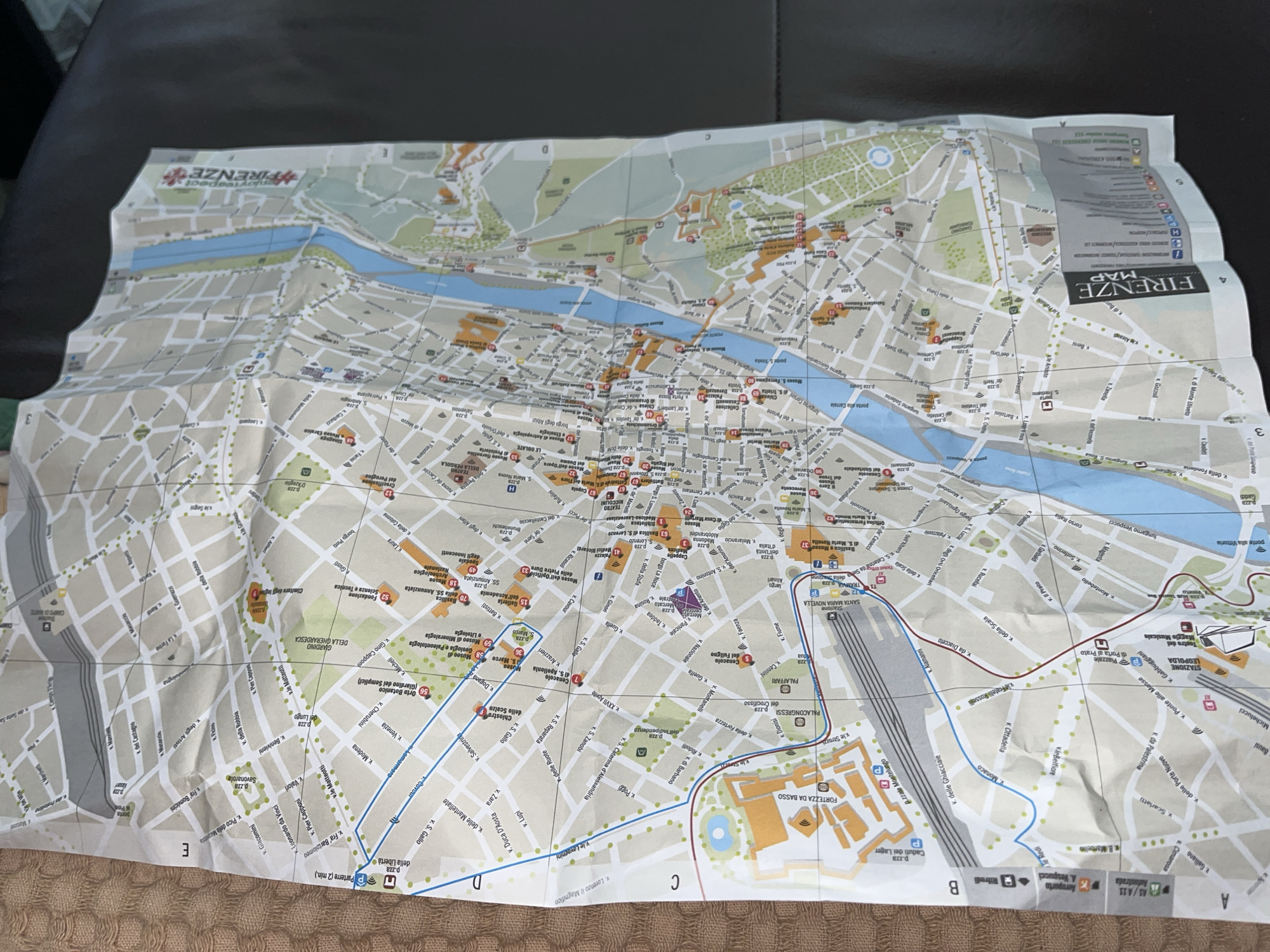
The image displays a folded paper map of Florence, Italy, laid out on a dark, textured surface, likely an armrest. A lighter, woven fabric is visible underneath the map.

The map is extensively creased from folding and shows a detailed street plan of the city. The Arno River, depicted in blue, flows through the urban area, with several bridges crossing it, including prominent ones like Ponte Santa Trinita and Ponte Vecchio. Green areas signify parks and gardens, such as the Giardino della Gherardesca and the Giardino di Boboli. A railway line and the Stazione Leopolda are visible in the lower part of the map, alongside blue lines that appear to mark public transport routes.

Numerous streets, piazzas, and landmarks are identified with names and corresponding numbers, including the "Duomo," "Battistero," "Galleria dell'Accademia," "Museo di San Marco," and "Palazzo Pitti." Key textual elements visible include "FIRENZE MAP" in the upper right, a stylized "FIRENZE" logo in the upper left, "P.ZZA SANTA MARIA NOVELLA," "FORTTEZZA DA BASSO," and various street names starting with "via," "lungarno," or "borgo." A grid system with letters (A, B, C, D, E) and numbers (1, 2, 3, 4) is present along the map's edges.

No people or specific activity are visible in the image. The setting appears to be indoors, but the time of day or weather conditions cannot be determined.
KrisX

Jun 3, 2026, 1:22 PM

Zlatograd, Bulgaria

Moment

Stake attention in this memory

curiosity
planning
discovery
anticipation
adventure

The image displays a folded paper map of Florence, Italy, laid out on a dark, textured surface, likely an armrest. A lighter, woven fabric is visible underneath the map. The map is extensively creased from folding and shows a detailed street plan of the city. The Arno River, depicted in blue, flows through the urban area, with several bridges crossing it, including prominent ones like Ponte Santa Trinita and Ponte Vecchio. Green areas signify parks and gardens, such as the Giardino della Gherardesca and the Giardino di Boboli. A railway line and the Stazione Leopolda are visible in the lower part of the map, alongside blue lines that appear to mark public transport routes. Numerous streets, piazzas, and landmarks are identified with names and corresponding numbers, including the "Duomo," "Battistero," "Galleria dell'Accademia," "Museo di San Marco," and "Palazzo Pitti." Key textual elements visible include "FIRENZE MAP" in the upper right, a stylized "FIRENZE" logo in the upper left, "P.ZZA SANTA MARIA NOVELLA," "FORTTEZZA DA BASSO," and various street names starting with "via," "lungarno," or "borgo." A grid system with letters (A, B, C, D, E) and numbers (1, 2, 3, 4) is present along the map's edges. No people or specific activity are visible in the image. The setting appears to be indoors, but the time of day or weather conditions cannot be determined.

Symbol

A4773

Volume

0

Creator

+$0.04

Revenue

+$0.00

TVL

$0.00

1D
1W
1M
All

Loading AttnAds…

transactions
revenues
stakers
Earliest
Latest
Highest stake

1

FM-qhLhE2

Staked 1mo ago
Redeemed 1mo ago

$2.90 USD

+$0.03 USD

Fee: $0.01 (0.5%)

+0.9%

2

Rev Bot 🤖💰

Injected revenue 1mo ago

Revenue bonus for the last stake.

+$0.08 USD

More from this user

More from Zlatograd

KrisX

Jun 3, 2026, 1:22 PM

Zlatograd, Bulgaria

Licensed under Creative Commons Attribution 4.0 International License. You are free to share and adapt this content with proper attribution.