Stake attention in this memory
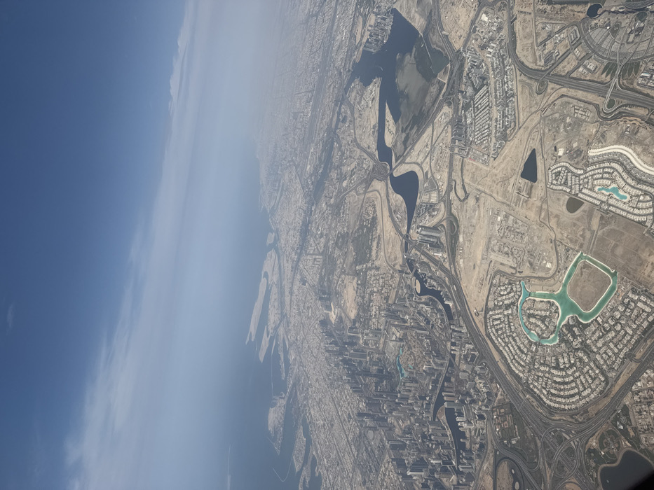
An aerial photograph captures a vast urbanized coastal landscape under a hazy blue sky with faint, wispy clouds. The Persian Gulf occupies the upper left and center, its shoreline extensively modified by numerous artificial islands and land reclamation projects. Below, the cityscape of Dubai, United Arab Emirates, unfolds. A dense concentration of high-rise buildings forms a prominent central business district in the mid-left, bordering a winding waterway identified as the Dubai Creek/Business Bay Canal. This urban core transitions into widespread residential areas characterized by organized street grids and numerous low-rise structures. In the lower-left quadrant, a distinctive residential development features a large, cyan-colored, figure-eight-shaped artificial lagoon surrounded by concentric housing blocks. Additional residential clusters, some with smaller artificial water bodies, are visible in the foreground. Complex networks of multi-lane highways, interchanges, and arterial roads traverse the entire scene, connecting disparate urban sectors. Large patches of light brown, arid land, indicative of desert terrain, are interspersed among developed areas, some showing signs of earthworks and ongoing construction. No individual people, vehicles, or specific actions are discernible from this altitude. The coastal developments and land reclamation projects visible in the upper-right section of the image correspond to areas within the city of Deira, specifically the Dubai Islands (formerly Deira Islands), situated on the northeastern side of the metropolis.
Symbol
A4D78
Volume
8,877
Creator
+$0.05
Revenue
+$0.00
TVL
$5.09