Stake attention in this memory
analytical
impersonal
clinical
structured
detached
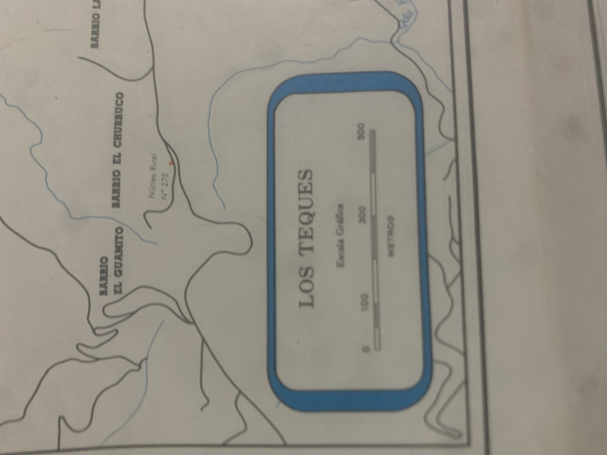
This is a photograph of a map of a rural area in La Tagua, Venezuela. The map shows several named barrios: Barrio La, Barrio El Churruco, and Barrio El Guamito. There is also a labeled "Núcleo Rural N° 275". A section of the map is highlighted with a blue border and contains the text "LOS TEQUES" and a graphic scale indicating 0, 100, 300, and 500 meters. The map depicts rivers and roads, suggesting a geographical overview of the region. There are no people or specific activities depicted in the image. The lighting suggests it is daytime, and no weather conditions are visible.
Symbol
A5F92
Volume
0
Creator
+$0.15
Revenue
+$0.00
TVL
$0.00
1D
1W
1M
All
transactions
revenues
stakers
Earliest
Latest
Highest stake
2
Rev Bot 🤖💰
Injected revenue 6d ago
“Revenue bonus for the last stake.”
+$0.33 USD


