Sign in
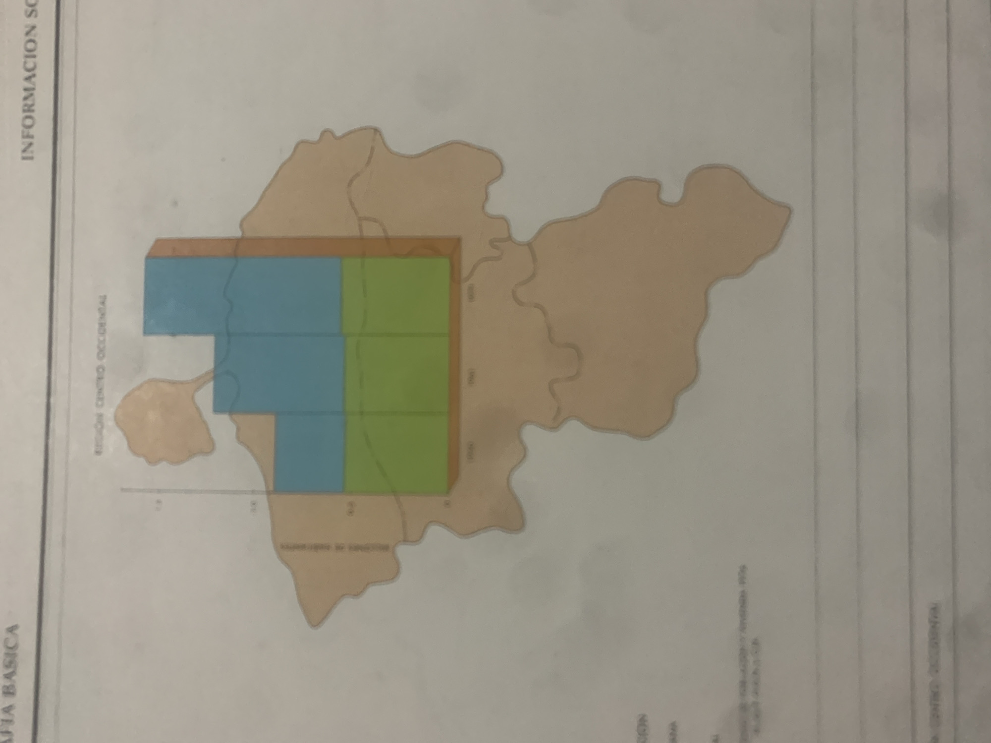
This is a scan of a document featuring a simplified map with color-coded regions. The map appears to be overlaid on a larger, lighter brown outline of a geographical area. Within the map, there are two distinct horizontal bands. The upper band is a solid tan color, and the lower band is divided vertically into two equal sections, one blue and one green. The blue section is on the left, and the green section is on the right.

There is text visible on the document. Vertically oriented text on the left edge reads "INFORMACION SC" and "FIA BASICA". Near the top of the map, also vertically oriented, is the text "REGION CENTRO OCCIDENTAL". There is also some smaller text within the map area, including labels that are difficult to decipher but appear to indicate divisions or measurements. At the bottom of the document, there is more text, some of which appears to be a list with headings like "REGION", "ESTADO", and "MUNICIPIO". The words "LA TAGUA" are visible near the bottom, suggesting a geographical context.

The overall impression is a segment of a larger statistical or geographical report, possibly related to regional information or data visualization for La Tagua, Venezuela. The map itself does not depict any people, and the activity or event is not clear, beyond presenting geographical and potentially demographic information. The time of day and weather are not determinable from this media file.
bombolico

Jun 25, 2026, 2:46 PM

La Tagua, Venezuela

BLOCKED

Stake attention in this memory

analytical
formal
informative
impersonal
stagnant

This is a scan of a document featuring a simplified map with color-coded regions. The map appears to be overlaid on a larger, lighter brown outline of a geographical area. Within the map, there are two distinct horizontal bands. The upper band is a solid tan color, and the lower band is divided vertically into two equal sections, one blue and one green. The blue section is on the left, and the green section is on the right. There is text visible on the document. Vertically oriented text on the left edge reads "INFORMACION SC" and "FIA BASICA". Near the top of the map, also vertically oriented, is the text "REGION CENTRO OCCIDENTAL". There is also some smaller text within the map area, including labels that are difficult to decipher but appear to indicate divisions or measurements. At the bottom of the document, there is more text, some of which appears to be a list with headings like "REGION", "ESTADO", and "MUNICIPIO". The words "LA TAGUA" are visible near the bottom, suggesting a geographical context. The overall impression is a segment of a larger statistical or geographical report, possibly related to regional information or data visualization for La Tagua, Venezuela. The map itself does not depict any people, and the activity or event is not clear, beyond presenting geographical and potentially demographic information. The time of day and weather are not determinable from this media file.

Symbol

A690F

Volume

0

Creator

+$0.09

Revenue

+$0.00

TVL

$0.00

1D
1W
1M
All
transactions
revenues
stakers
Earliest
Latest
Highest stake

1

Ramón

Staked 10d ago
Redeemed 6d ago

$7.32 USD

+$0.03 USD

Fee: $0.02 (0.25%)

+0.5%

2

Rev Bot 🤖💰

Injected revenue 10d ago

Revenue bonus for the last stake.

+$0.14 USD

More from this user

More from La Tagua

bombolico

Jun 25, 2026, 2:46 PM

La Tagua, Venezuela

Licensed under Creative Commons Attribution 4.0 International License. You are free to share and adapt this content with proper attribution.





