
Stake attention in this memory
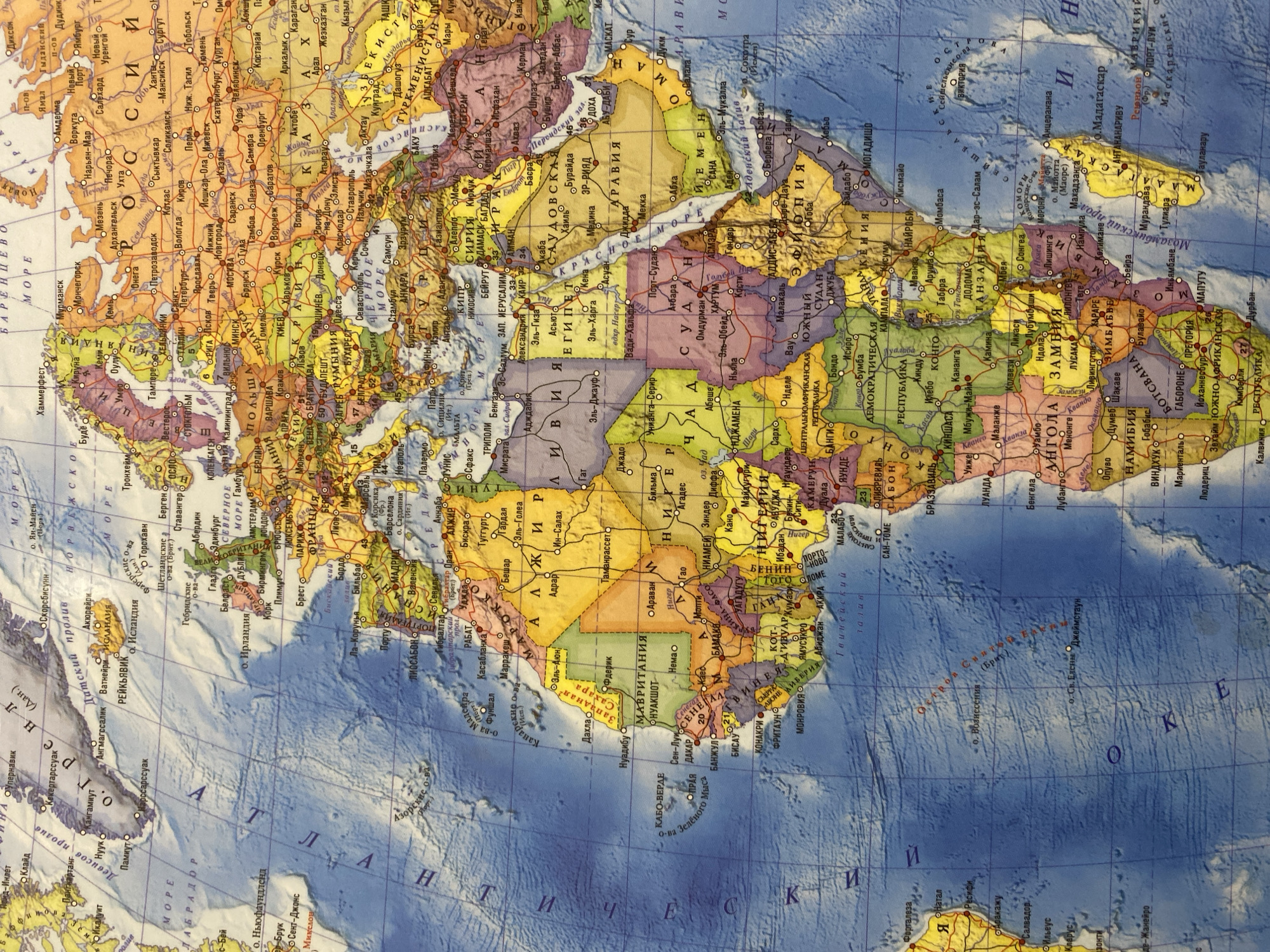
The image is a close-up, top-down view of a world map. The map displays countries, cities, bodies of water, and borders. It appears to be a physical map with shaded topography indicating elevation. The colors used are predominantly blues for water, greens and yellows for landmasses, with political borders delineated in various colors. The city of Orenburg, Russia is located on the map in the European part of Russia, east of the Volga River and north of the Ural Mountains. On this particular map, Orenburg is marked with a circular symbol and labeled "Оренбург" in Cyrillic script. It is situated in a region with predominantly yellow and light brown coloring, suggesting a drier, possibly steppe or semi-desert climate. The surrounding area is part of Russia, and the map also shows parts of Kazakhstan to the south and east of Orenburg.
Loading AttnAds…
No transactions found