Sign in
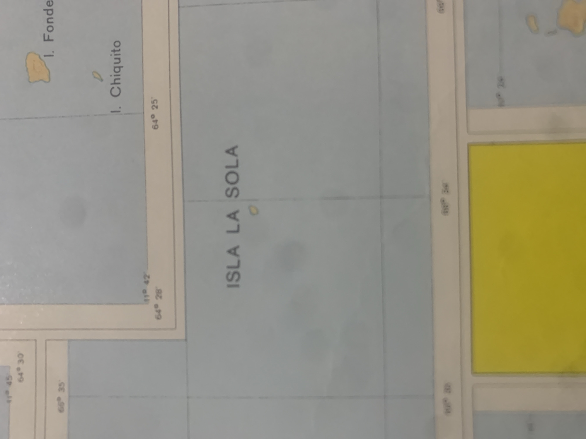
The image displays a section of a map featuring navigational grids and place names. Prominently visible is the text "ISLA LA SOLA," indicating an island. To the northeast of Isla La Sola, the islands labeled "I. Fonde" and "I. Chiquito" are depicted. The map includes latitude and longitude markings, such as "66° 35'", "11° 45'", "64° 30'", "11° 42'", "64° 28'", and "64° 25'". A large yellow rectangle is visible in the lower portion of the image, with grid lines intersecting it. No geographical features identifiable as being within La Tagua, Venezuela, are discernible.
bombolico

Jun 25, 2026, 2:43 PM

La Tagua, Venezuela

BLOCKED

Stake attention in this memory

lonely
solitude
isolated
melancholic
nostalgic

The image displays a section of a map featuring navigational grids and place names. Prominently visible is the text "ISLA LA SOLA," indicating an island. To the northeast of Isla La Sola, the islands labeled "I. Fonde" and "I. Chiquito" are depicted. The map includes latitude and longitude markings, such as "66° 35'", "11° 45'", "64° 30'", "11° 42'", "64° 28'", and "64° 25'". A large yellow rectangle is visible in the lower portion of the image, with grid lines intersecting it. No geographical features identifiable as being within La Tagua, Venezuela, are discernible.

Symbol

A6FB7

Volume

0

Creator

+$0.09

Revenue

+$0.00

TVL

$0.00

1D
1W
1M
All

Loading AttnAds…

transactions
revenues
stakers
Earliest
Latest
Highest stake

1

Ramón

Staked 10d ago
Redeemed 8d ago

$7.22 USD

+$0.03 USD

Fee: $0.04 (0.5%)

+0.5%

2

Rev Bot 🤖💰

Injected revenue 10d ago

Revenue bonus for the last stake.

+$0.16 USD

More from this user

More from La Tagua

bombolico

Jun 25, 2026, 2:43 PM

La Tagua, Venezuela

Licensed under Creative Commons Attribution 4.0 International License. You are free to share and adapt this content with proper attribution.





