Sign in
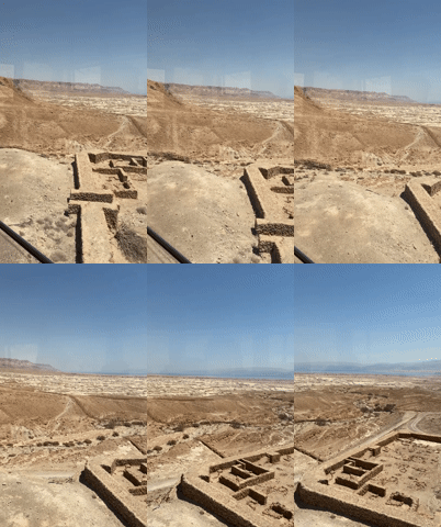
The image captures a panoramic view from a high vantage point, likely Masada, within the Tamar Regional Council, Israel. In the foreground, a rough-hewn stone wall, characteristic of ancient fortifications, dominates the right side of the frame. The wall is constructed from large, irregular blocks of reddish-brown stone, showing signs of age and erosion. To the right of the wall, a metal signpost is visible, featuring Hebrew and English text, with the English stating "Snake path." Below the text are two pictograms, one depicting a falling rock and the other a person walking.

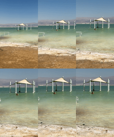
The middle ground reveals a vast, arid landscape stretching out below. The terrain is characterized by undulating, dry earth, with visible paths winding through it. In the distance, a body of water, likely the Dead Sea, shimmers with a turquoise hue, bordered by distant, hazy mountains. A settlement or archaeological site with numerous structures and a line of trees is visible in the valley below.

The sky is a clear, vibrant blue, with a single, wispy cloud high in the upper left quadrant. The lighting suggests it is daytime, with the sun casting distinct shadows and highlighting the textures of the rock and landscape. The overall impression is one of historical significance and natural grandeur, overlooking a stark desert environment adjacent to a unique body of water.
tatianka

Jul 29, 2026, 8:20 AM

Tamar Regional Council, Israel

Short Term

Stake attention in this memory

awe-inspiring
historical
vast
serene
isolated

The image captures a panoramic view from a high vantage point, likely Masada, within the Tamar Regional Council, Israel. In the foreground, a rough-hewn stone wall, characteristic of ancient fortifications, dominates the right side of the frame. The wall is constructed from large, irregular blocks of reddish-brown stone, showing signs of age and erosion. To the right of the wall, a metal signpost is visible, featuring Hebrew and English text, with the English stating "Snake path." Below the text are two pictograms, one depicting a falling rock and the other a person walking. The middle ground reveals a vast, arid landscape stretching out below. The terrain is characterized by undulating, dry earth, with visible paths winding through it. In the distance, a body of water, likely the Dead Sea, shimmers with a turquoise hue, bordered by distant, hazy mountains. A settlement or archaeological site with numerous structures and a line of trees is visible in the valley below. The sky is a clear, vibrant blue, with a single, wispy cloud high in the upper left quadrant. The lighting suggests it is daytime, with the sun casting distinct shadows and highlighting the textures of the rock and landscape. The overall impression is one of historical significance and natural grandeur, overlooking a stark desert environment adjacent to a unique body of water.

Symbol

A7033

Volume

11,550

Creator

+$0.04

Revenue

+$0.06

TVL

$2.97

1D
1W
1M
All

Loading AttnAds…

transactions
revenues
stakers
Earliest
Latest
Highest stake

1

Temirov

Staked 3h ago

$2.95 USD

+$0.03 USD

+0.9%

2

Rev Bot 🤖💰

Injected revenue 3h ago

Revenue bonus for the last stake.

+$0.06 USD

More from this user

More from Tamar Regional Council

tatianka

Jul 29, 2026, 8:20 AM

Tamar Regional Council, Israel

Licensed under Creative Commons Attribution 4.0 International License. You are free to share and adapt this content with proper attribution.