Stake attention in this memory
map
Africa
countries
geography
education
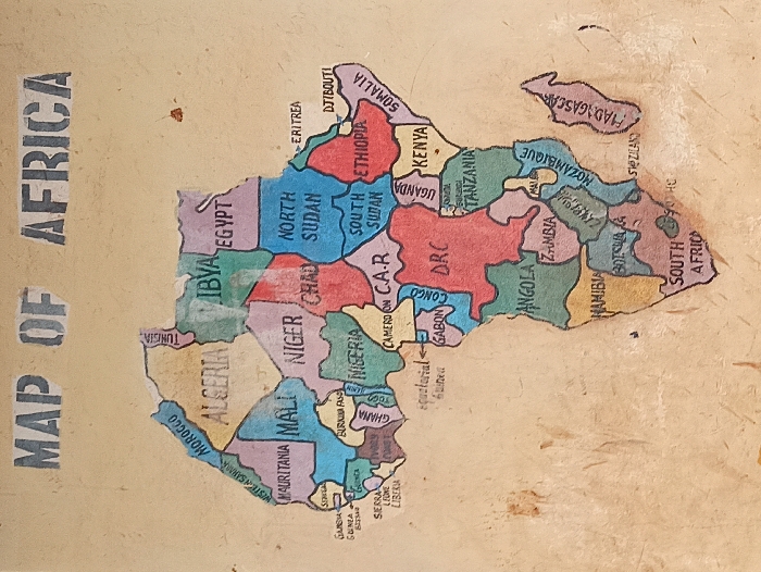
The image displays a hand-drawn map of Africa. Countries like Algeria, Egypt, Nigeria, Ethiopia, Kenya, DRC, and South Africa are labeled with their names. The countries are distinguished by different colors. Some countries, like South Sudan and North Sudan, are separated. "MAP OF AFRICA" is printed on the left side of the map. The map appears to be drawn or painted on a surface with visible texture or staining.
transactions
revenues
stakers
Earliest
Latest
Highest stake
No transactions found