Stake attention in this memory
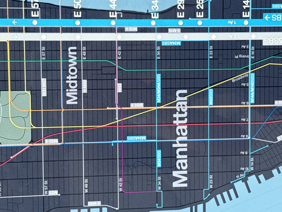
This image displays a detailed segment of a stylized transportation map of Manhattan, New York City, United States. The map primarily shows Midtown and the central portion of Manhattan, bordered by water on the left and right, encompassing streets from approximately West/East 57th Street south to West/East 14th Street. The landmass, representing city blocks and streets, is dark gray/black, delineated by white lines indicating streets and avenues (e.g., W 57 St, E 42 St, 8 Av, Broadway, 1 Av). Larger white text labels identify "Midtown" and "Manhattan." Various colored lines (red, light blue, yellow, green, purple, orange) traverse the grid, representing transportation routes, likely bus or subway lines. These routes include labels such as "M20," "M31," "M42," "M50," "M55," "M14A/M14DSBS," "M23SBS," "M34SBS," "M34/M34ASBS," and "M15," often accompanied by directional arrows. A prominent light blue vertical band on the right side of the map features white circles and dots, indicating stations along a primary route. No people, discernible objects other than map components, or actions are depicted within the frame. The scene is a static, informational graphic.
Loading AttnAds…
No transactions found