Stake attention in this memory
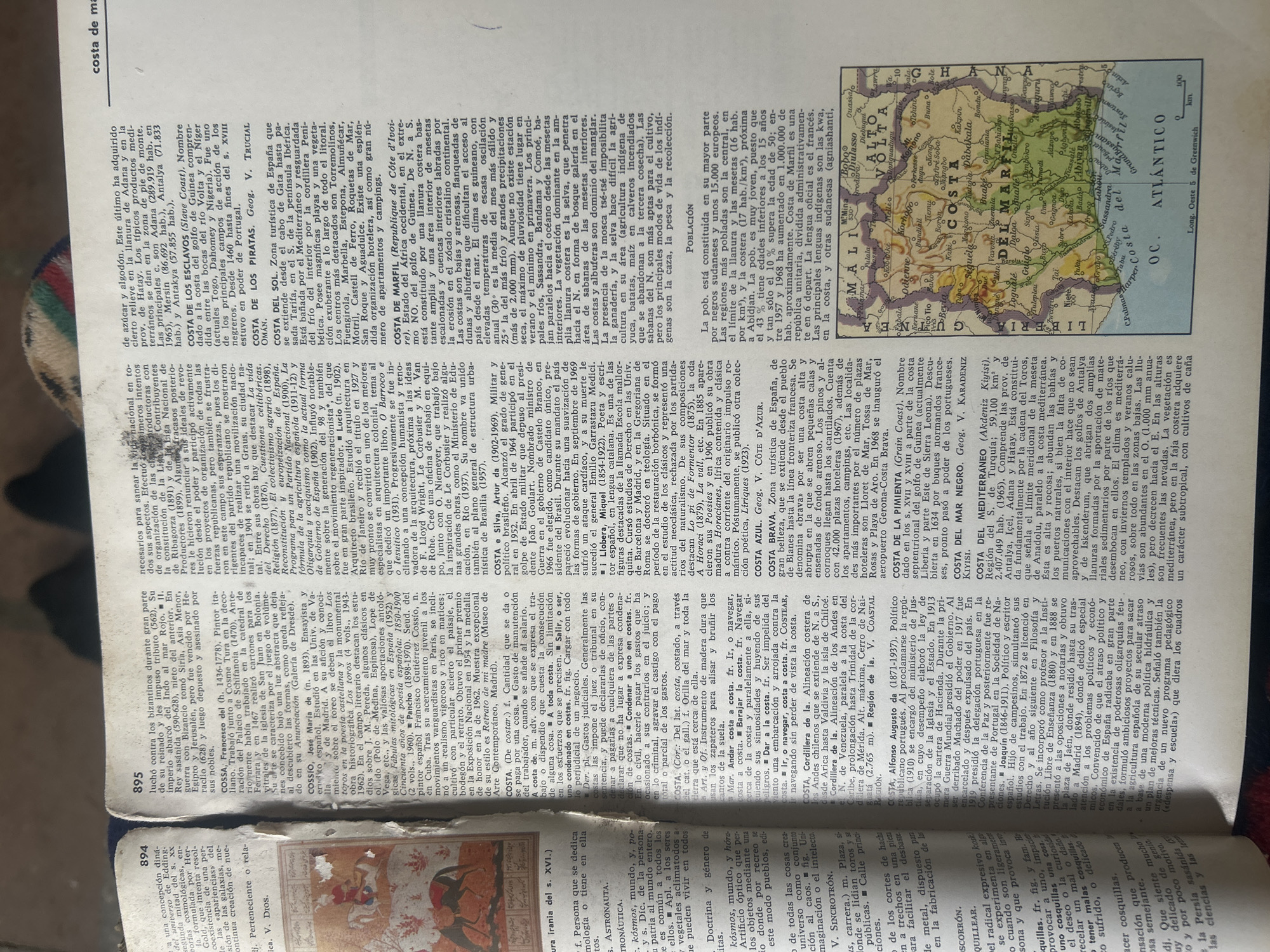
The image displays a page from an encyclopedia or dictionary, featuring text and a small map. The text is primarily in Spanish and discusses various geographical locations and historical figures, indicated by names like "COSTA DE MAREIL", "COSTA DEL GOLFO", and biographical entries. Several entries also mention dates and specific locations within countries like Ghana, Mali, and Venezuela. The map, located on the right side of the page, is a detailed illustration of a region in West Africa, specifically showing the "COSTA DE MARFIL" (Ivory Coast). It labels countries like "OC. ATLANTICO", "GHANA", "MALI", and "BURKINA FASO" (formerly Upper Volta). Cities, rivers, and geographical features are also marked. The map's style suggests it is from an older publication, possibly mid-20th century, due to its cartographic conventions. The overall scene is that of a person reading or consulting an informative text, likely for research or general knowledge. The lighting appears to be ambient, possibly from an indoor light source, and there are no obvious indications of the time of day or specific weather conditions. The focus is on the printed material itself, with the surrounding area blurred, suggesting the image was taken with a shallow depth of field, emphasizing the text and map.
No transactions found