
Stake attention in this memory
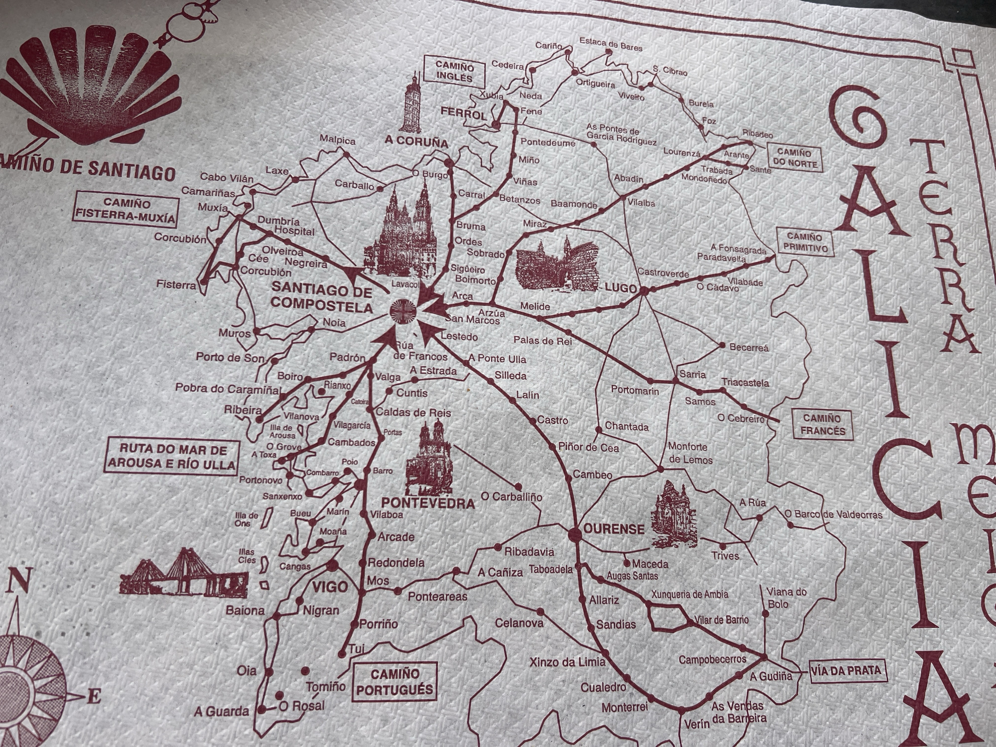
The image is a close-up, top-down view of a red, printed map on a white textured background, likely a napkin or paper placemat. The map depicts various pilgrimage routes in Galicia, Spain, with a prominent focus on the Camino de Santiago. Several towns and cities are labeled in a red, stylized font, including "SANTIAGO DE COMPOSTELA", "A CORUÑA", "LUGO", "OURENSE", "PONTEVEDRA", and "VIGO". The map shows a dense network of paths represented by thin red lines connecting these locations, with smaller dots indicating intermediate points. Some sections of the map are highlighted with text boxes. One such box on the left reads "RUTA DO MAR DE AROUSA E RIO ULLA" and another below it says "CAMIÑO PORTUGUÉS". On the right, there are boxes for "CAMIÑO INGLÉS", "CAMIÑO PRIMITIVO", and "CAMIÑO DO NORTE". The "CAMIÑO FRANCÉS" is also labeled near the bottom center. The image includes stylized illustrations of architectural landmarks, such as a bridge and a cathedral, superimposed on the map. The overall aesthetic is that of a souvenir or informational handout. Within the context of Portomarín, the map shows this city as a point along the "CAMIÑO FRANCÉS". It is indicated by a red dot and the label "Portomarín" positioned between "Chantada" and "Lugo" on the map. The specific location within Portomarín is not further detailed beyond its presence on the pilgrimage route.
Loading AttnAds…
No transactions found