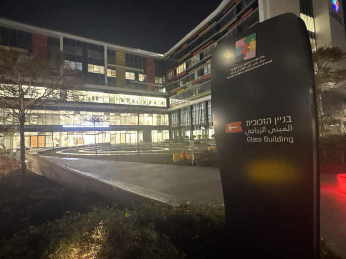
Stake attention in this memory
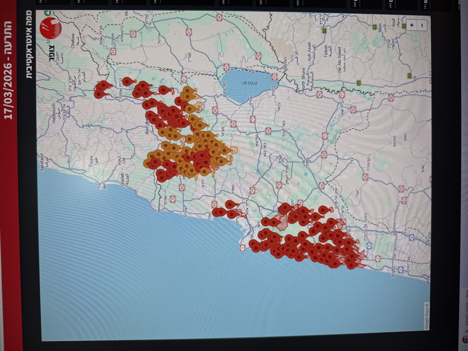
A computer monitor, located in Ramat HaSharon, Israel, displays an interactive digital map of northern Israel and surrounding regions, including parts of Lebanon, Syria, and Jordan. The Mediterranean Sea is visible on the left, and the Sea of Galilee (Kinneret) on the right. The map is overlaid with numerous teardrop-shaped location pins: a dense concentration of red pins extends along the Israeli coastline from Haifa northward, and large clusters of both red and orange pins are present in the Upper Galilee and Golan Heights areas, extending into southern Lebanon. Hebrew text at the top of the screen reads "התרעה - 17/03/2026" (Warning - 17/03/2026) and "מפה אינטראקטיבית" (Interactive Map), indicating an alert system. Additional Hebrew text "צופר" (Tzofar) is visible in the top right and bottom left, alongside "Google Maps G" in the bottom left. The monitor screen exhibits faint moiré patterns and minor reflections. No individuals or direct actions are depicted within the frame beyond the display of the map.
No transactions found