Stake attention in this memory
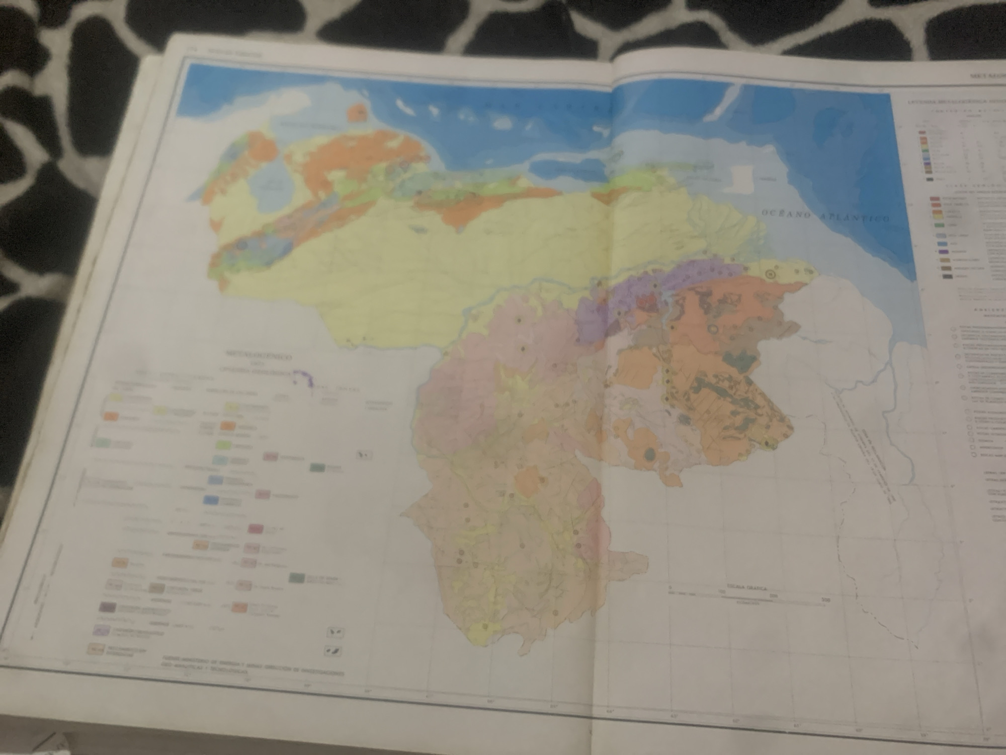
This is a digital photograph of an open geological map of Venezuela. The map is detailed with various colored regions representing different geological formations, and a legend is visible on the right side of the image. The map is laid out on a surface covered with a black and white spotted fabric, resembling a cowhide or dalmatian print. The prominent geographical feature depicted is the country of Venezuela, with its borders and internal divisions clearly marked. The Atlantic Ocean is visible to the northeast of the country. The map includes text labels such as "OCEANO ATLANTICO" (Atlantic Ocean) and "LEYENDA GEOLOGICA REGIONAL" (Regional Geological Legend). Below the map, there are lines of text which are too blurry to read clearly, but appear to be source or credit information, possibly including government ministry names. A graphic scale bar is also present at the bottom, indicating distances in kilometers. The lighting in the photograph suggests it was taken indoors, likely in a well-lit room, as there are no harsh shadows indicative of direct sunlight. The overall impression is that of a scientific or educational document being presented or studied. No people are visible in the frame. The context of "La Tagua, Venezuela" indicates the general region or subject of the map.
Symbol
A9C64
Volume
0
Creator
+$0.14
Revenue
+$0.00
TVL
$0.00
2
Rev Bot 🤖💰
Injected revenue 6d ago
“Revenue bonus for the last stake.”
+$0.26 USD


