
Stake attention in this memory
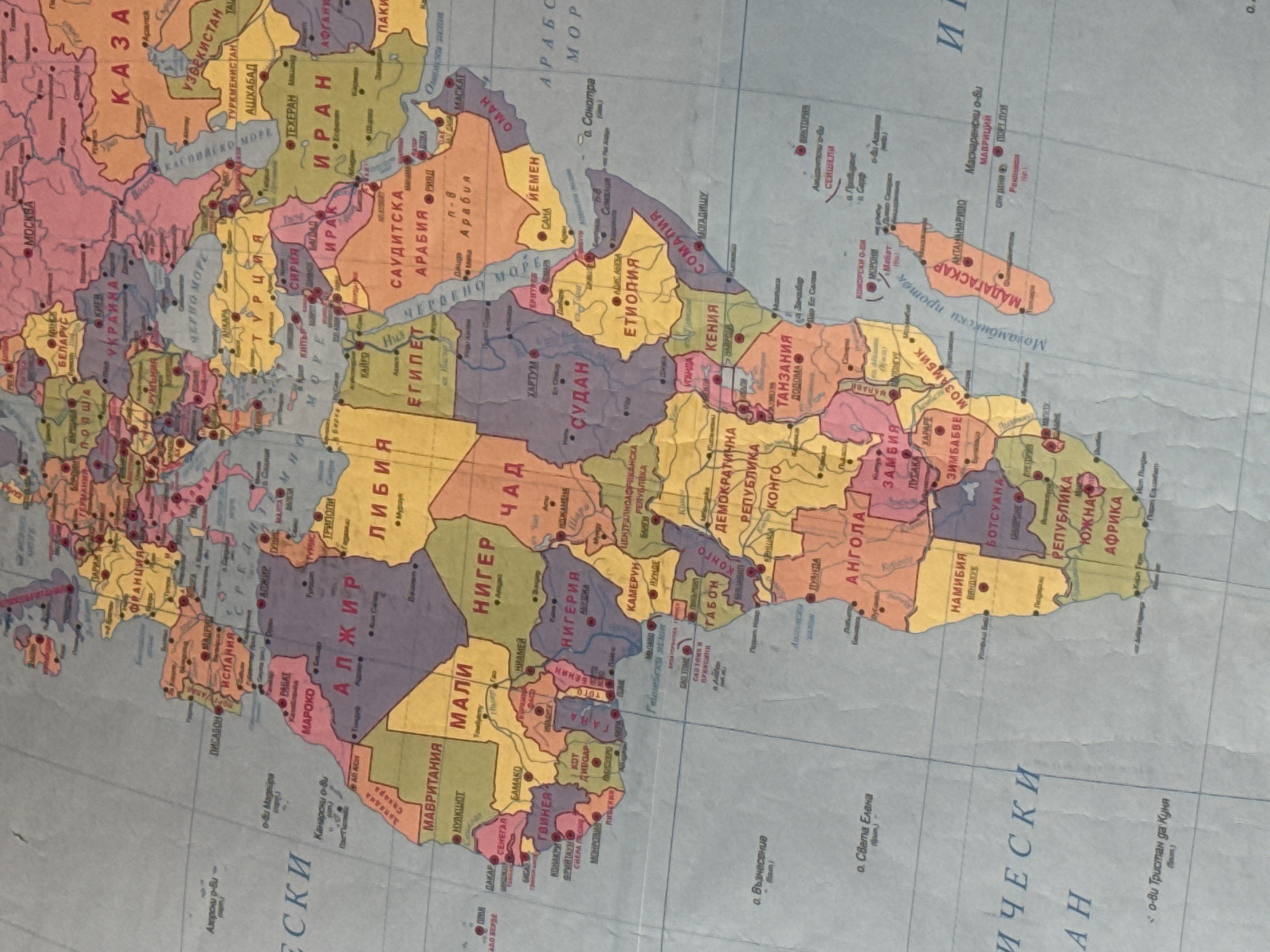
The image is a close-up photograph of a world map, displaying parts of Europe, Africa, and the Middle East. The map is colorful, with countries delineated by different shades. Text labels in Cyrillic script indicate country names and cities. The geographical focus is on North and West Africa, extending eastwards to Iran and southwards to Madagascar. Key visible countries include Algeria, Libya, Egypt, Saudi Arabia, Iran, Mauritania, Mali, Niger, Sudan, Ethiopia, Somalia, and Madagascar. Cities like Algiers, Cairo, Tehran, and Mogadishu are labeled. The map appears to be printed on a textured surface, possibly paper or a similar material, and shows some creases and wear. There are no people, objects, actions, or interactions depicted. The image is a static representation of geographical information. There is no visible information or context related to Stara Zagora, Bulgaria in the image.
Loading AttnAds…
No transactions found