Stake attention in this memory
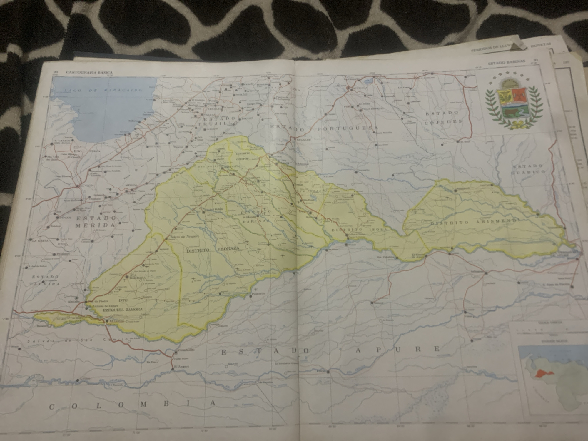
This is an image of a map of Venezuela, likely a printed atlas page, laid out on a surface with a black and white pattern. The map depicts various states and districts within Venezuela, including "ESTADO ZULIA," "ESTADO MERIDA," "ESTADO TRUJILLO," "ESTADO PORTUGUESA," "ESTADO COJEDES," "ESTADO BARINAS," and "ESTADO GUARICO." Several bodies of water are shown, most notably the "LAGO DE MARACAIBO" in the northwest. Roads and populated areas are marked with dots and lines. There are also smaller inset maps, one of which shows Venezuela with a red highlighted region, suggesting a focus area. The map includes place names like "LA GRITA," "MERIDA," and "TOVAR." Some text is visible along the top, indicating "CARTOGRAFIA BASICA" and "PERIODOS DE LLUVIA ISOVETAS." The overall scene appears to be an indoor setting, with the map being the primary object of focus. There are no people or active events depicted, but rather a static representation of geographical information. The lighting suggests it's daytime, and the weather is not discernible from the image.
Loading AttnAds…
No transactions found





