Stake attention in this memory
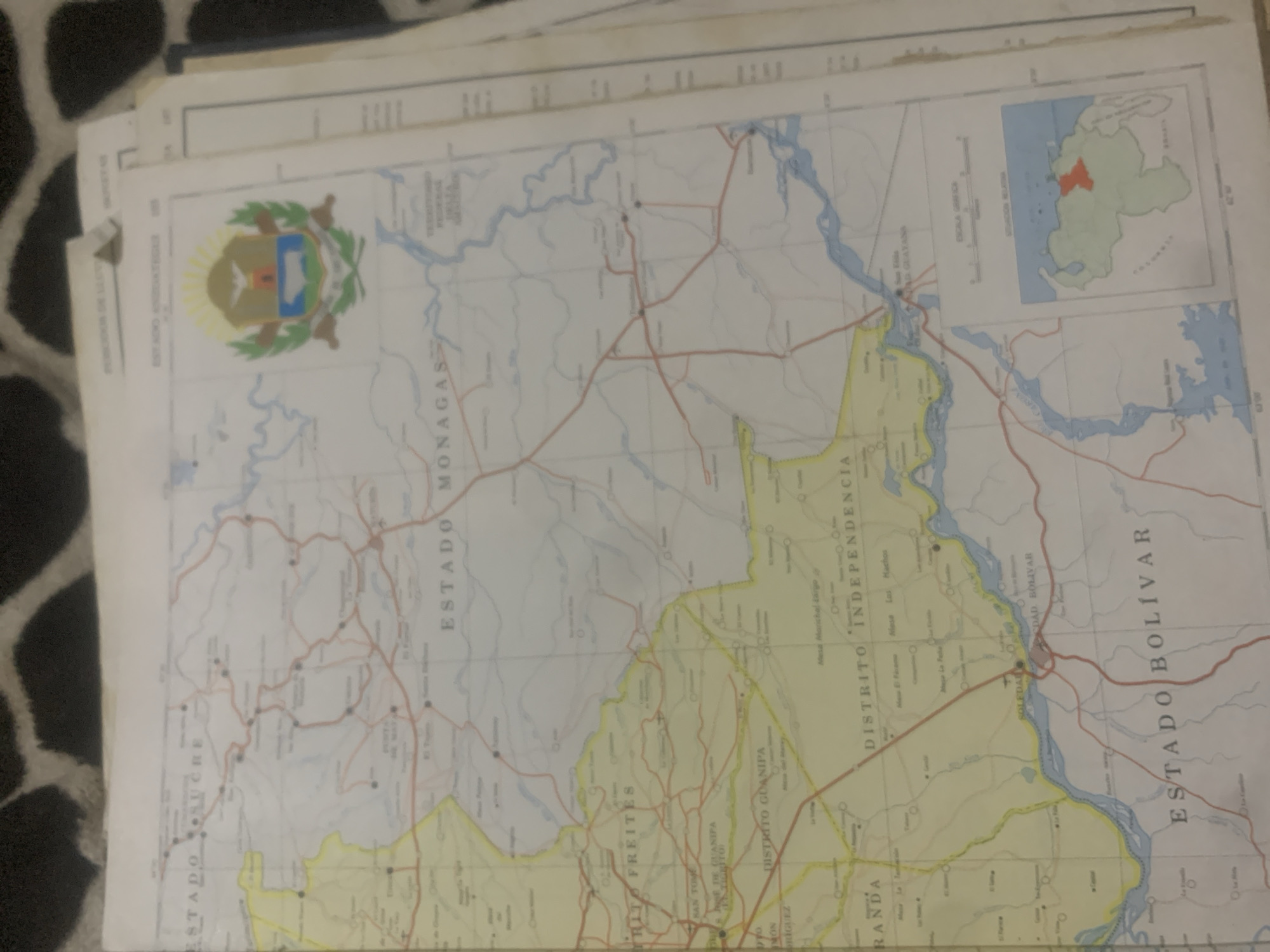
This is a photograph of a map, likely from Venezuela. The map is detailed, showing administrative divisions such as "ESTADO SUCRE," "ESTADO MONAGAS," and "ESTADO BOLÍVAR," along with districts like "DISTRITO FREITES," "DISTRITO GUANIPA," and "DISTRITO INDEPENDENCIA." Various towns and geographical features, including rivers and roads, are marked. A small inset map shows the location of a particular region within Venezuela, highlighted in red. The map appears to be printed on paper and is slightly creased, suggesting it has been handled and used. The overall setting is that of a table or flat surface, with a patterned fabric visible in the background. The lighting is somewhat dim, creating a soft focus on the image. The text on the map is primarily in Spanish.
Symbol
AD4FB
Volume
0
Creator
+$0.03
Revenue
+$0.00
TVL
$0.00
Loading AttnAds…

2

Rev Bot 🤖💰
Injected revenue 2mo ago
“Revenue bonus for the last stake.”
+$0.05 USD





