
Sign in
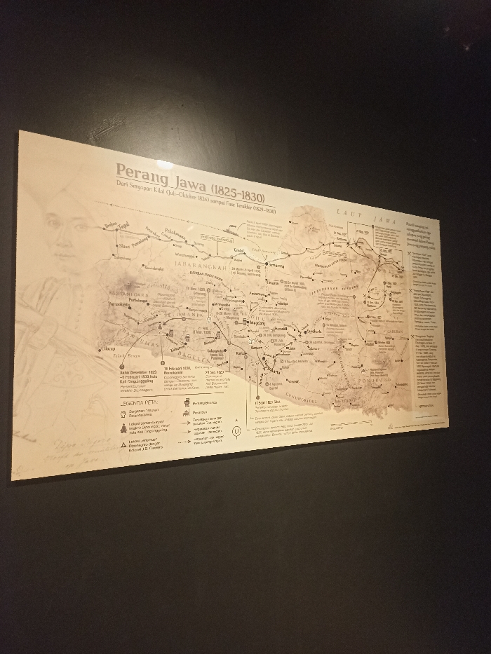
The image shows a large, rectangular, white plaque mounted on a dark wall. The plaque is a map of Java from the Java War of 1825-1830. The map is filled with lines, dots, and text in the Indonesian language. The plaque is mounted at eye level, and it appears to be in a museum or other public space. The plaque is located in West Jakarta, Indonesia, at the coordinates -6.135, 106.813.
FM-DWNFF3

Apr 16, 2025, 5:06 AM

West Jakarta, Indonesia

Stake attention in this memory

historical
educational
informative
detailed
geographic

The image shows a large, rectangular, white plaque mounted on a dark wall. The plaque is a map of Java from the Java War of 1825-1830. The map is filled with lines, dots, and text in the Indonesian language. The plaque is mounted at eye level, and it appears to be in a museum or other public space. The plaque is located in West Jakarta, Indonesia, at the coordinates -6.135, 106.813.

Loading AttnAds…

transactions
revenues
stakers
Earliest
Latest
Highest stake

No transactions found
More from this user

More from West Jakarta

FM-DWNFF3

Apr 16, 2025, 5:06 AM

West Jakarta, Indonesia

Licensed under Creative Commons Attribution 4.0 International License. You are free to share and adapt this content with proper attribution.