Stake attention in this memory
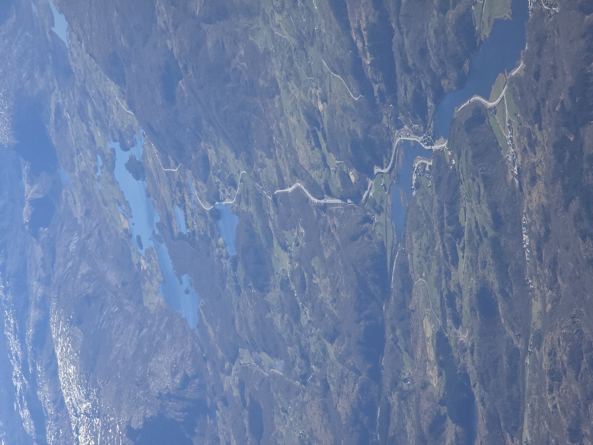
This is an aerial photograph capturing a rugged, mountainous landscape, characteristic of Tengesdal, Norway, from a high vantage point. The scene is dominated by a complex network of deep blue lakes or fjord arms that wind through the terrain, interspersed with steep, densely vegetated landmasses. The landscape features a mix of dark green and brownish hues across the hills and valleys, indicative of forests and possibly bare deciduous trees, suggesting a season like early spring or late autumn. Lighter green patches, likely cultivated fields or pastures, are visible in the flatter areas and along the water's edge. A prominent light-colored road or highway snakes through the landscape, often paralleling the waterways and crossing over narrow land sections or bridges. This infrastructure is a key sign of human presence. Along this main road and other smaller tracks, numerous scattered buildings, likely homes or farmsteads, are visible, clustered in accessible locations close to the water and roads. The lighting indicates daytime conditions, with clear visibility and the blue of the sky reflected in the water bodies. No specific human activity or identifiable individuals are visible, though the presence of infrastructure implies ongoing habitation and travel. There is no discernible text within the image. The overall impression is one of a scenic and somewhat remote rural environment.
No transactions found
More from this user