Sign in
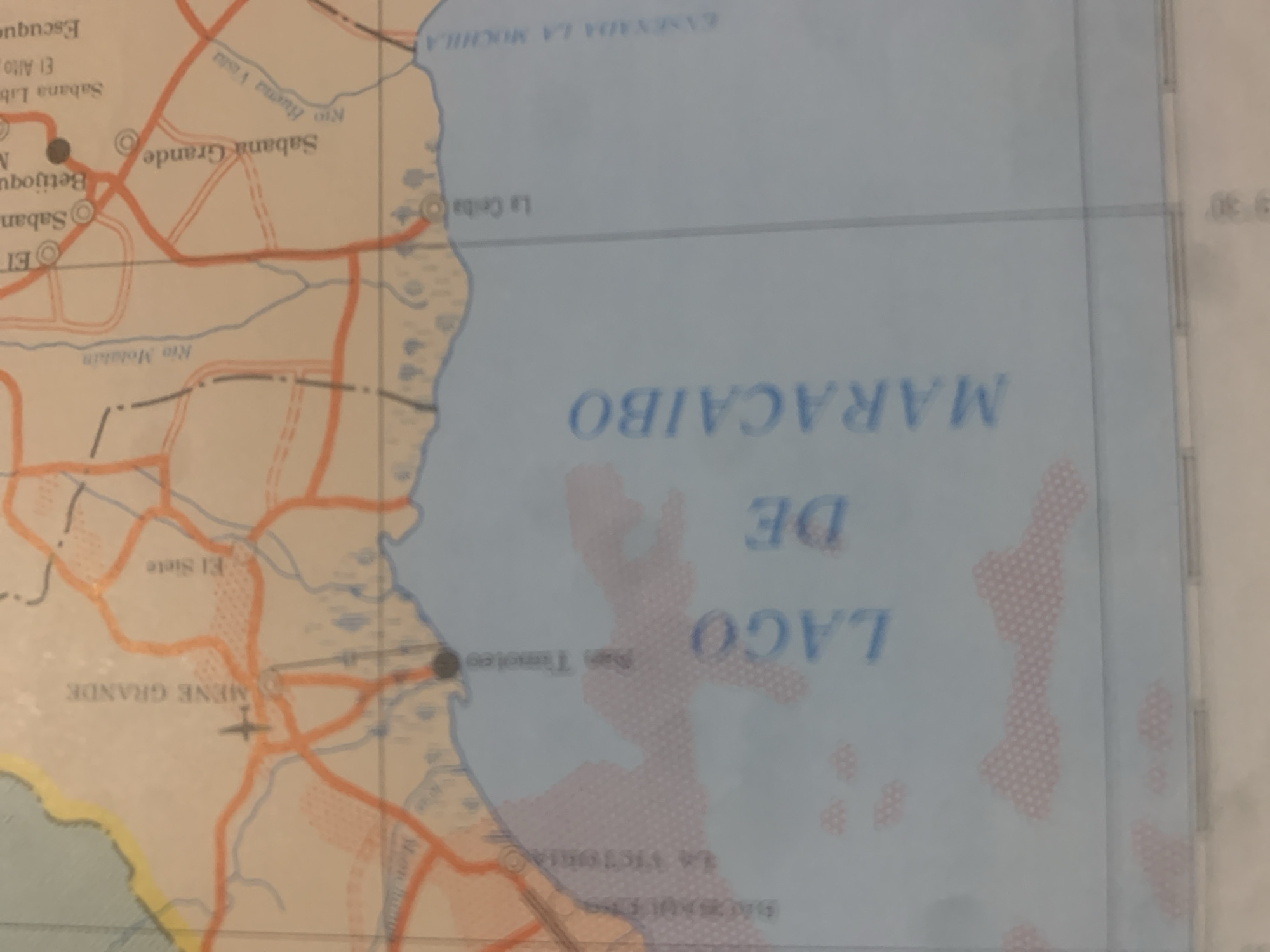
This is a close-up, angled photograph of a map, likely a road map or nautical chart, with a slight tilt. The map displays bodies of water, landmasses with geographical features, and a network of roads and place names.

The dominant subject is the map itself, featuring the names "LAGO DE MARACAIBO" in large, blue lettering across a body of water. Other discernible place names include "SABANA GRANDE," "SABANA," "BETOJOQUE," "EL SIETE," "RIÓ MOHAIN," and "La Ceiba." There are also labels like "ENSENADA LA MOCHILA" and "LA VICTORIA." Roads are depicted as orange lines, some with dashed lines indicating different types of routes, and there are symbols representing towns or points of interest, including a small airplane symbol near "MENE GRANDE." The land areas are colored with a pale orange and white, with some areas shaded in a light red dotted pattern, possibly indicating terrain or a specific region.

The image captures a section of a map that includes a large lake or bay, a coastline, and inland topography with rivers and roads. The lighting suggests it was taken in a well-lit environment, possibly indoors, with no discernible time of day or weather conditions related to the scene being depicted on the map. The slight blur and angle indicate the photograph was taken hand-held, focusing on the details of the map rather than a specific event. The map appears to be old, given the font and color palette.
bombolico

Jun 25, 2026, 2:46 PM

La Tagua, Venezuela

BLOCKED

Stake attention in this memory

nostalgic
analytical
curious
contemplative
neutral

This is a close-up, angled photograph of a map, likely a road map or nautical chart, with a slight tilt. The map displays bodies of water, landmasses with geographical features, and a network of roads and place names. The dominant subject is the map itself, featuring the names "LAGO DE MARACAIBO" in large, blue lettering across a body of water. Other discernible place names include "SABANA GRANDE," "SABANA," "BETOJOQUE," "EL SIETE," "RIÓ MOHAIN," and "La Ceiba." There are also labels like "ENSENADA LA MOCHILA" and "LA VICTORIA." Roads are depicted as orange lines, some with dashed lines indicating different types of routes, and there are symbols representing towns or points of interest, including a small airplane symbol near "MENE GRANDE." The land areas are colored with a pale orange and white, with some areas shaded in a light red dotted pattern, possibly indicating terrain or a specific region. The image captures a section of a map that includes a large lake or bay, a coastline, and inland topography with rivers and roads. The lighting suggests it was taken in a well-lit environment, possibly indoors, with no discernible time of day or weather conditions related to the scene being depicted on the map. The slight blur and angle indicate the photograph was taken hand-held, focusing on the details of the map rather than a specific event. The map appears to be old, given the font and color palette.

Symbol

B0AFB

Volume

0

Creator

+$0.09

Revenue

+$0.00

TVL

$0.00

1D
1W
1M
All

Loading AttnAds…

transactions
revenues
stakers
Earliest
Latest
Highest stake

1

Ramón

Staked 10d ago
Redeemed 9d ago

$7.31 USD

+$0.00 USD

Fee: $0.07 (1%)

+0.1%

2

Rev Bot 🤖💰

Injected revenue 10d ago

Revenue bonus for the last stake.

+$0.17 USD

More from this user

More from La Tagua

bombolico

Jun 25, 2026, 2:46 PM

La Tagua, Venezuela

Licensed under Creative Commons Attribution 4.0 International License. You are free to share and adapt this content with proper attribution.





