Sign in
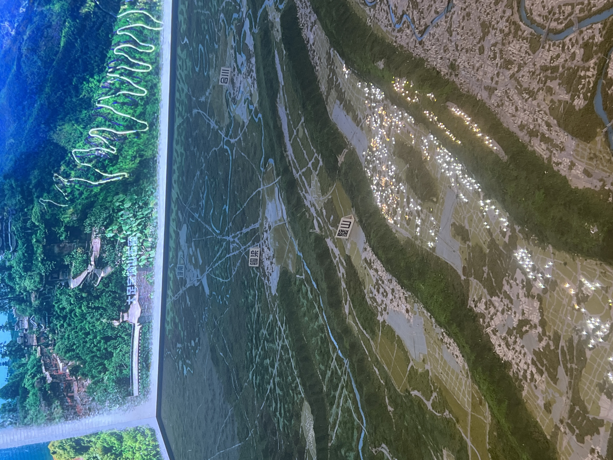
The image displays a detailed topographical model of a mountainous region with urban development, possibly a section of Nan'an District, China. The upper portion of the model features a rendered image of lush green mountains with winding roads and traditional architecture. The lower portion is a three-dimensional model showing a network of rivers, agricultural fields, and densely populated areas illuminated with tiny lights, simulating a city at night. Text labels are visible on the model, including "大足龙水湖公园" (Dazu Longshui Lake Park), "铜梁" (Tongliang), "合川" (Hechuan), and "璧山" (Bishan). These labels suggest the model represents a region encompassing these locations. The overall scene depicts a detailed representation of a landscape and its human infrastructure.
FM-gixDD3

Jun 13, 2026, 7:15 AM

Nan'an District, China

Stake attention in this memory

Intriguing
Detailed
Contemplative
Expansive
Serene

The image displays a detailed topographical model of a mountainous region with urban development, possibly a section of Nan'an District, China. The upper portion of the model features a rendered image of lush green mountains with winding roads and traditional architecture. The lower portion is a three-dimensional model showing a network of rivers, agricultural fields, and densely populated areas illuminated with tiny lights, simulating a city at night. Text labels are visible on the model, including "大足龙水湖公园" (Dazu Longshui Lake Park), "铜梁" (Tongliang), "合川" (Hechuan), and "璧山" (Bishan). These labels suggest the model represents a region encompassing these locations. The overall scene depicts a detailed representation of a landscape and its human infrastructure.

Loading AttnAds…

transactions
revenues
stakers
Earliest
Latest
Highest stake

No transactions found

More from this user

More from Nan'an District

FM-gixDD3

Jun 13, 2026, 7:15 AM

Nan'an District, China

Licensed under Creative Commons Attribution 4.0 International License. You are free to share and adapt this content with proper attribution.