
Stake attention in this memory
studious
intellectual
focused
analytical
curious
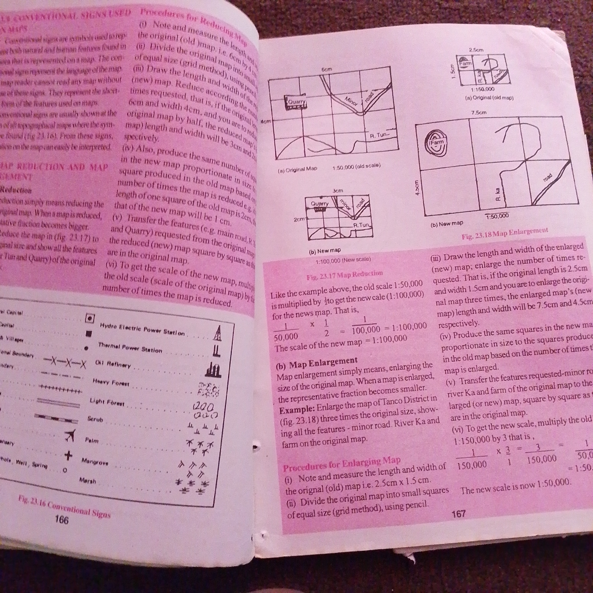
The image shows two pages of a textbook discussing map reduction and enlargement. The left page details conventional signs used on maps, listing and illustrating various symbols for features like capital cities, villages, railways, and forests. It also begins to explain map reduction. The right page continues the explanation of map reduction and then shifts to map enlargement with accompanying diagrams showing original and scaled maps. The text and diagrams are in English. There is no information about Jalingo, Nigeria in the provided image.
Symbol
B2079
Volume
2,971
Creator
+$0.00
Revenue
+$0.00
TVL
$0.23
1D
1W
1M
All
Loading AttnAds…
transactions
revenues
stakers
Earliest
Latest
Highest stake

2

Rev Bot 🤖💰
Injected revenue 1mo ago
“Revenue bonus for the last stake.”
+$0.00 USD