
Sign in
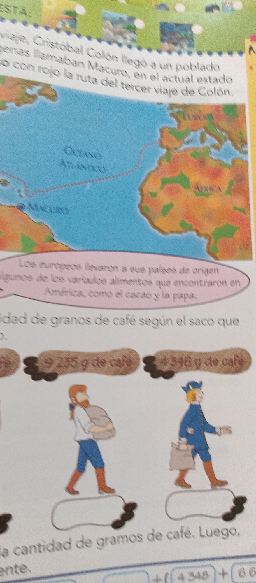
The image displays a page from a book or educational material, featuring a map of the Atlantic Ocean with routes and landmasses labeled. A text box above the map discusses Christopher Columbus's third voyage to a populated area called Macuro. Below the map, there are illustrations of two figures carrying sacks, with accompanying text and numbers related to coffee. The overall context appears to be educational, likely focusing on history, geography, and potentially a math problem involving weights. The specific mention of "La Tagua, Venezuela" is not present in the visible content of the image.
Ramón

Jun 23, 2026, 1:19 PM

La Tagua, Venezuela

Stake attention in this memory

educational
historical
studious
informative
nostalgic

The image displays a page from a book or educational material, featuring a map of the Atlantic Ocean with routes and landmasses labeled. A text box above the map discusses Christopher Columbus's third voyage to a populated area called Macuro. Below the map, there are illustrations of two figures carrying sacks, with accompanying text and numbers related to coffee. The overall context appears to be educational, likely focusing on history, geography, and potentially a math problem involving weights. The specific mention of "La Tagua, Venezuela" is not present in the visible content of the image.

Loading AttnAds…

transactions
revenues
stakers
Earliest
Latest
Highest stake

No transactions found
More from this user

More from La Tagua

Ramón

Jun 23, 2026, 1:19 PM

La Tagua, Venezuela

Licensed under Creative Commons Attribution 4.0 International License. You are free to share and adapt this content with proper attribution.