
Sign in
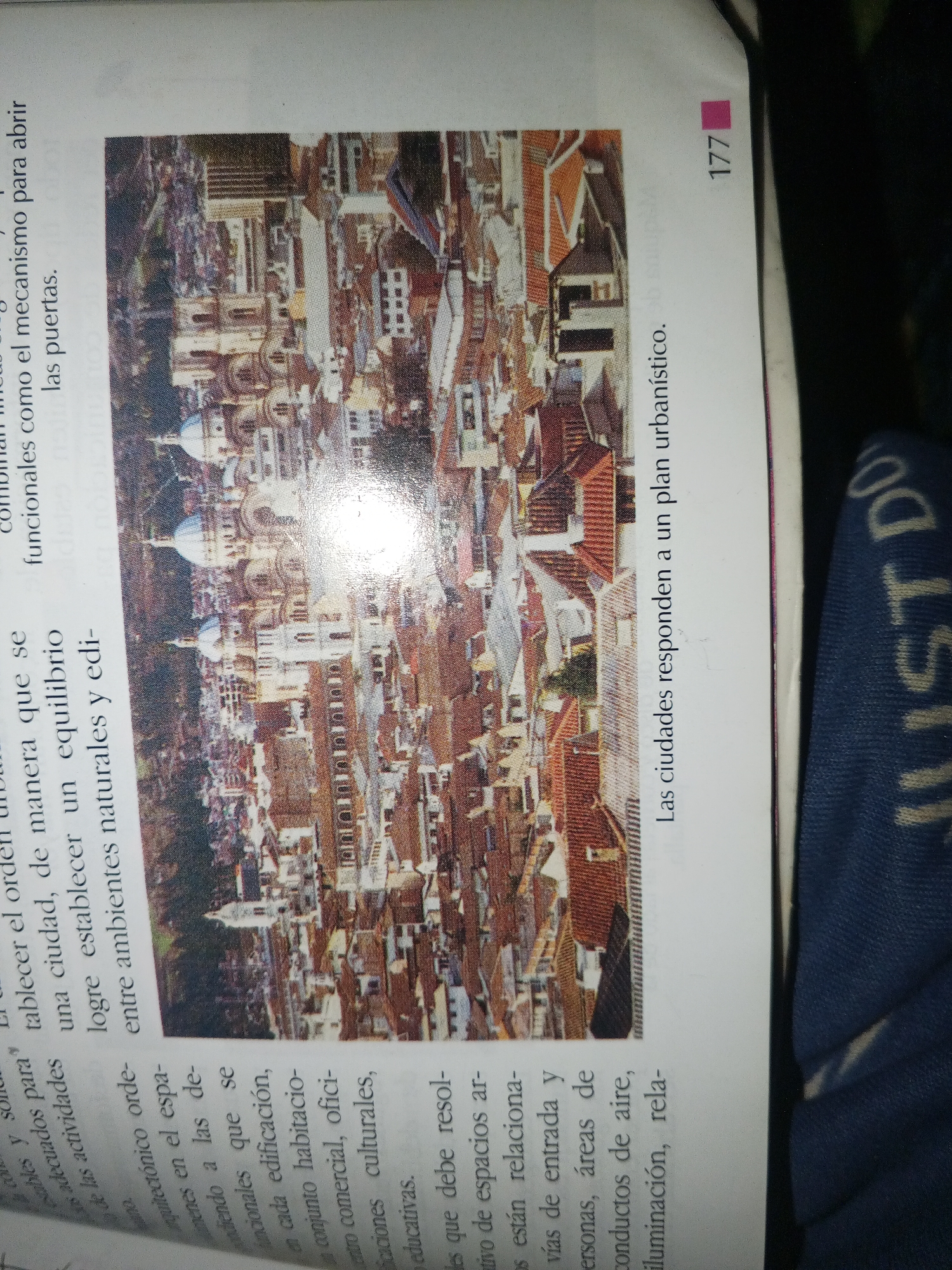
The image shows a page from a book, with text and an aerial photograph of a dense urban landscape. The photograph displays a cityscape with numerous buildings, characterized by red-tiled roofs and varying architectural styles. Dominating the center of the image is a large, ornate building with multiple domes, likely a church or cathedral. The surrounding area is filled with tightly packed residential and commercial structures, suggesting a historic urban center.

The text to the left of the photograph describes an urban planning or architectural concept, discussing the establishment of equilibrium between natural and built environments, and the integration of different urban functions such as housing, commerce, education, and recreation. The text on the right, in Spanish, states "Las ciudades responden a un plan urbanístico," which translates to "Cities respond to an urban plan." The number "177" is visible in the top right corner, indicating the page number.

There is no information in the image that places the photograph in La Tagua, Venezuela. The image is a general representation of a historic urban area and does not contain any specific geographical markers or textual references to that location.
Jesús Ferrer

Jun 14, 2026, 10:56 AM

La Tagua, Venezuela

Moment

Stake attention in this memory

historical
urban
traditional
dense
architectural

The image shows a page from a book, with text and an aerial photograph of a dense urban landscape. The photograph displays a cityscape with numerous buildings, characterized by red-tiled roofs and varying architectural styles. Dominating the center of the image is a large, ornate building with multiple domes, likely a church or cathedral. The surrounding area is filled with tightly packed residential and commercial structures, suggesting a historic urban center. The text to the left of the photograph describes an urban planning or architectural concept, discussing the establishment of equilibrium between natural and built environments, and the integration of different urban functions such as housing, commerce, education, and recreation. The text on the right, in Spanish, states "Las ciudades responden a un plan urbanístico," which translates to "Cities respond to an urban plan." The number "177" is visible in the top right corner, indicating the page number. There is no information in the image that places the photograph in La Tagua, Venezuela. The image is a general representation of a historic urban area and does not contain any specific geographical markers or textual references to that location.

Symbol

B3691

Volume

0

Creator

+$0.04

Revenue

+$0.00

TVL

$0.00

1D
1W
1M
All

Loading AttnAds…

transactions
revenues
stakers
Earliest
Latest
Highest stake

1

MaR25

Staked 28d ago
Redeemed 27d ago

$2.85 USD

+$0.01 USD

Fee: $0.03 (1%)

+0.3%

2

Rev Bot 🤖💰

Injected revenue 28d ago

Revenue bonus for the last stake.

+$0.07 USD

More from this user

More from La Tagua

Jesús Ferrer

Jun 14, 2026, 10:56 AM

La Tagua, Venezuela

Licensed under Creative Commons Attribution 4.0 International License. You are free to share and adapt this content with proper attribution.