Stake attention in this memory
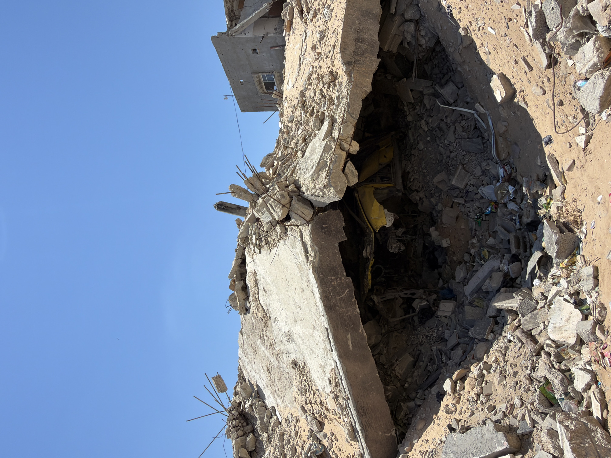
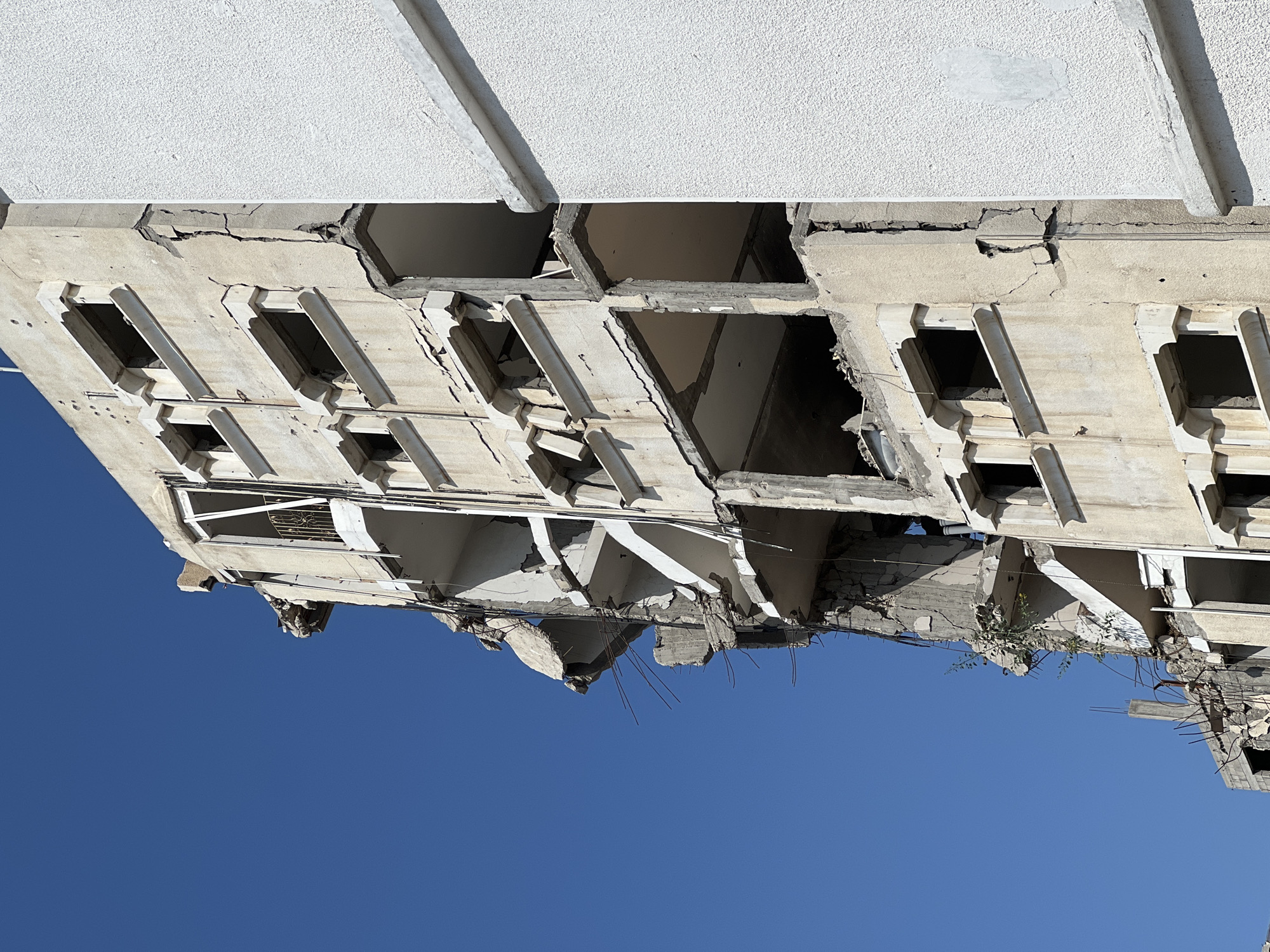
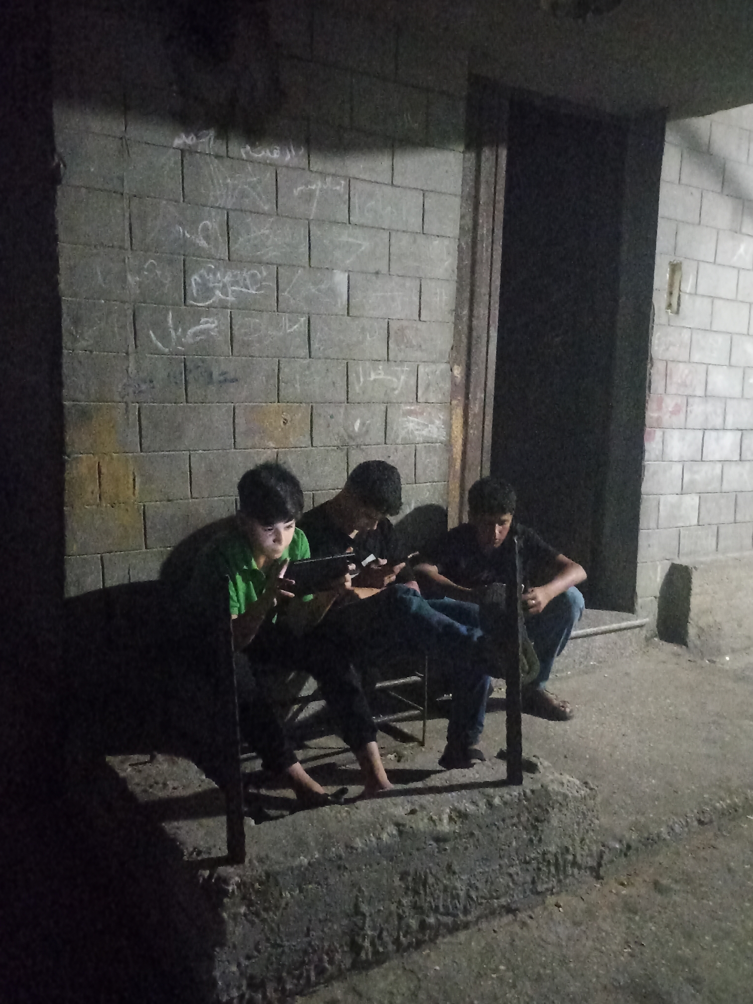
destruction
devastation
ruin
sadness
loss
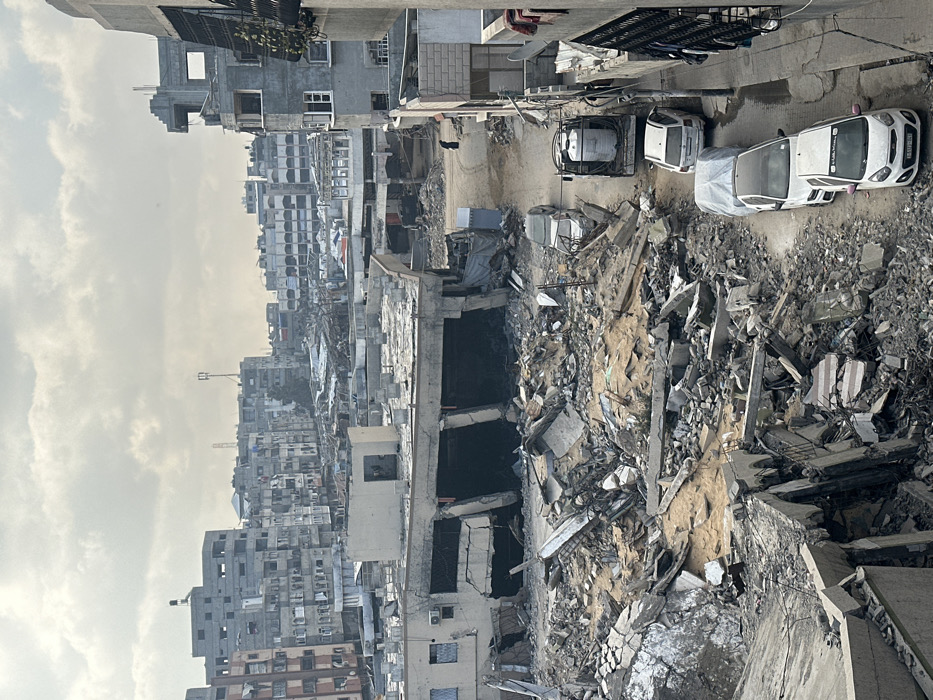
The image shows a street in Gaza City, Palestine, at the location of latitude 31.535 and longitude 34.465. The street is lined with buildings on both sides, some of which are damaged and rubble-strewn. In the foreground, there are a number of white cars parked, and a white truck with a cylindrical water tank on the back. There is a person in black clothing walking towards the bottom right of the image. The scene is characterized by extensive destruction and debris from a recent bombing. The buildings are made of concrete and have flat roofs. The sky is overcast with clouds.
transactions
revenues
stakers
Earliest
Latest
Highest stake
No transactions found