Stake attention in this memory
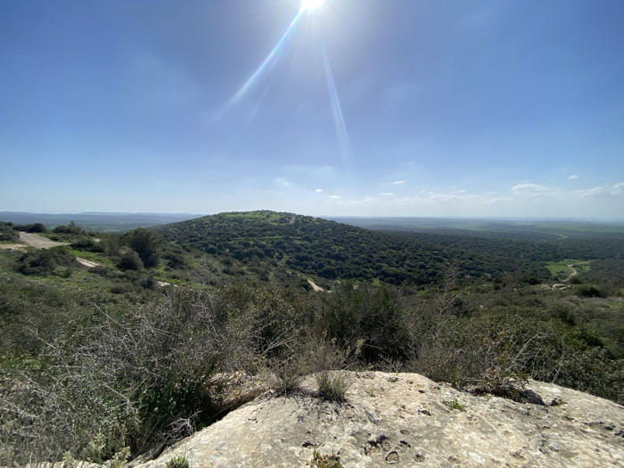
A panoramic landscape view captured during daytime in the Mate Yehuda Regional Council, Israel, depicts a hilly, vegetated terrain under a clear blue sky. The immediate foreground consists of light-colored, rough rocky ground with sparse green sprouts and several thorny, leafless shrubs with grey-brown branches. The midground and background present a series of rolling hills and a valley densely covered with dark green scrubland and trees. A light-colored dirt track, approximately two to three meters wide, is visible winding down a slope on the left side, with another less defined path appearing on the far right. In the distant background, to the right, lighter green agricultural fields are discernible. The sky is predominantly clear blue with minimal wispy white clouds near the horizon. A prominent sun flare originating from the upper-left quadrant indicates direct overhead sunlight. No individuals, animals, or man-made structures beyond the dirt tracks are present within the frame.
Loading AttnAds…
No transactions found