Stake attention in this memory
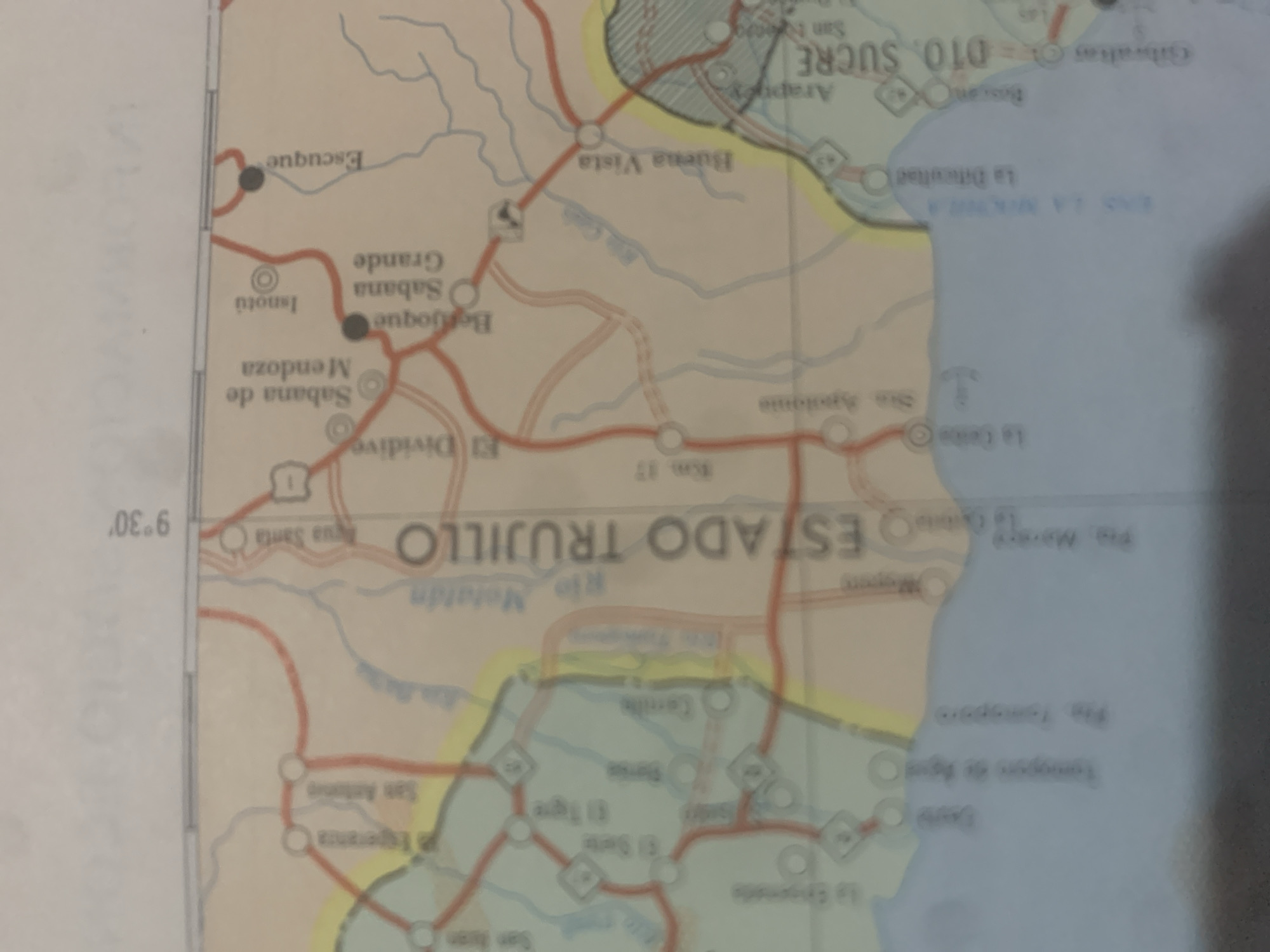
This is a photograph of a map, likely a road atlas, showing a section of Venezuela, specifically focusing on the Estado Trujillo region. The map displays towns, cities, and roads, with some areas shaded or delineated by boundaries, possibly indicating political divisions or topographical features. Visible text includes place names such as "ESTADO TRUJILLO," "Gibraltar," "SUCRE," "Isnotú," "Escuque," "Buena Vista," and "La Dificultad." Road markers like "Km. 17" and coordinates "9°30′" are also present. The map indicates rivers like "Rio Motatin" and "Rio Carache" (though the latter is partially obscured). Various routes are depicted by red lines, with dots marking settlements. Some locations have circles with smaller circles inside, which might represent different types of towns or points of interest. The map appears to be in use, possibly being consulted for navigation. The lighting suggests an indoor setting, and the image quality is slightly blurred, characteristic of a photograph taken with a mobile device. There are no people or specific activities depicted, only the cartographic information. The overall impression is a functional map detailing a rural or semi-rural area of Venezuela.
Symbol
B47A7
Volume
11,550
Creator
+$0.03
Revenue
+$0.04
TVL
$2.40
Loading AttnAds…

2

Rev Bot 🤖💰
Injected revenue 2mo ago
“Revenue bonus for the last stake.”
+$0.04 USD





