Stake attention in this memory
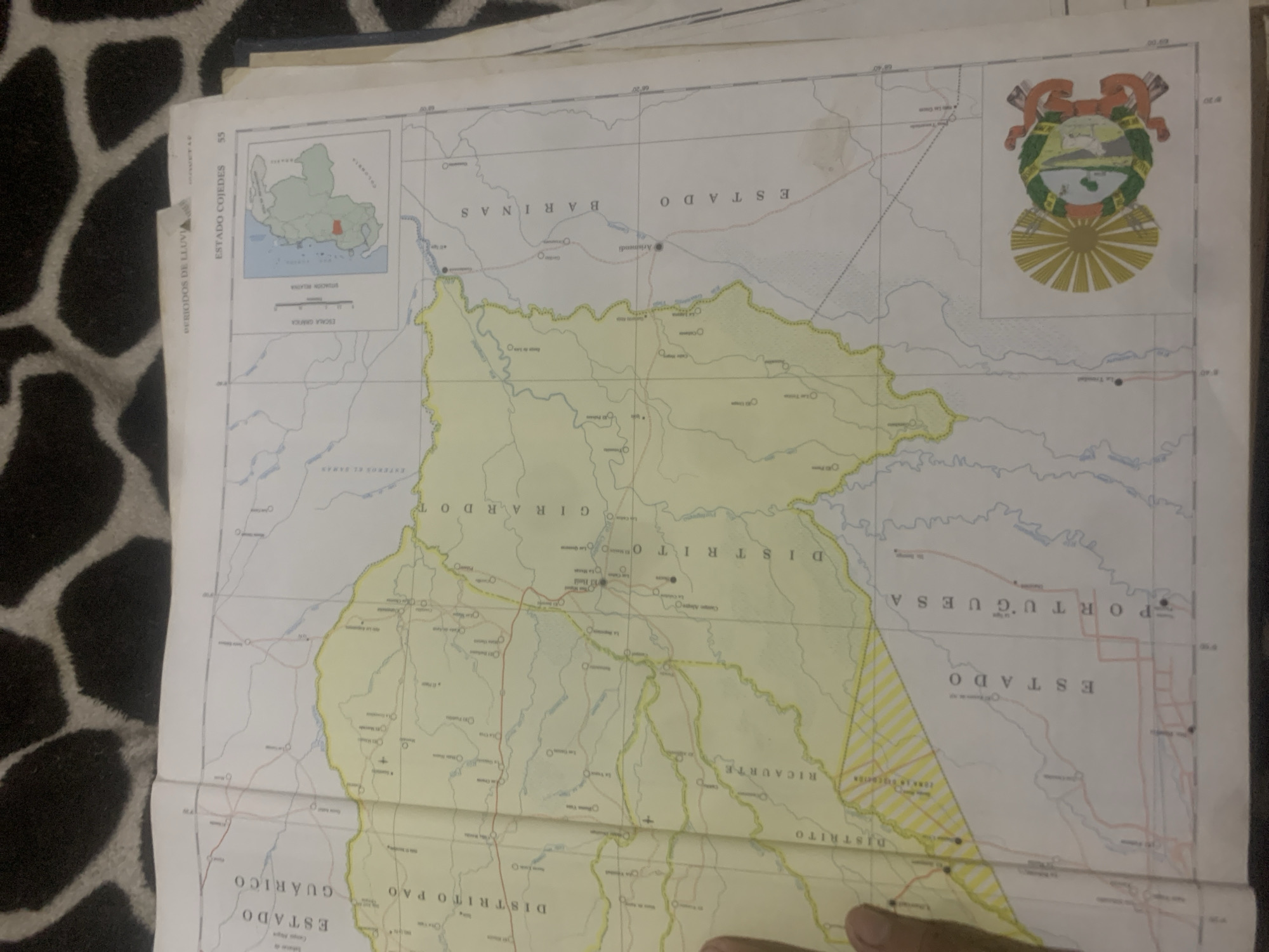
The image shows a map of Venezuelan states. In the center of the map, a portion of Estado Guárico is visible, with Distrito Pao and Distrito Girardo indicated. To the right, Estado Cojedes and Estado Barinas are shown, with a small inset map of Venezuela highlighting Estado Cojedes. The bottom of the map displays Estado Portuguesa and a portion of Distrito Rucaurte. A coat of arms is present in the lower right corner. The map appears to be unfolded and placed on a surface with a black and tan pattern. There is a person's hand visible in the lower left corner of the image, holding down a section of the map. The city of La Tagua is not explicitly labeled on the visible portion of the map.
Symbol
B5F12
Volume
0
Creator
+$0.03
Revenue
+$0.00
TVL
$0.00
Loading AttnAds…

2

Rev Bot 🤖💰
Injected revenue 2mo ago
“Revenue bonus for the last stake.”
+$0.06 USD





