
Sign in
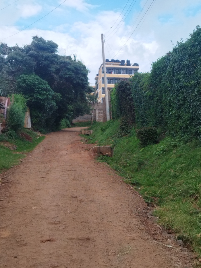
The image shows a dirt road in Nyeri, Kenya, located at coordinates -0.43 latitude and 36.956 longitude. The road is lined with green foliage on both sides. On the right side, the foliage forms a wall, partially obscuring a yellow multi-story building with a flat roof.  A power line runs down the right side of the road, and another power line runs parallel to the road, disappearing behind the foliage.  The road is dusty, and there are no people or animals visible. The weather is clear and bright, with blue skies and scattered white clouds.  The foliage suggests a tropical or subtropical climate.  The building is likely a residential or commercial building. The dirt road is likely a common access route to homes or businesses in the area.
Kanjes

Apr 30, 2025, 1:50 PM

Nyeri, Kenya

Stake attention in this memory

Tranquil
Peaceful
Serene
Secluded
Rustic

The image shows a dirt road in Nyeri, Kenya, located at coordinates -0.43 latitude and 36.956 longitude. The road is lined with green foliage on both sides. On the right side, the foliage forms a wall, partially obscuring a yellow multi-story building with a flat roof. A power line runs down the right side of the road, and another power line runs parallel to the road, disappearing behind the foliage. The road is dusty, and there are no people or animals visible. The weather is clear and bright, with blue skies and scattered white clouds. The foliage suggests a tropical or subtropical climate. The building is likely a residential or commercial building. The dirt road is likely a common access route to homes or businesses in the area.

Loading AttnAds…

transactions
revenues
stakers
Earliest
Latest
Highest stake

No transactions found

More from this user

More from Nyeri

Kanjes

Apr 30, 2025, 1:50 PM

Nyeri, Kenya

Licensed under Creative Commons Attribution 4.0 International License. You are free to share and adapt this content with proper attribution.