Sign in
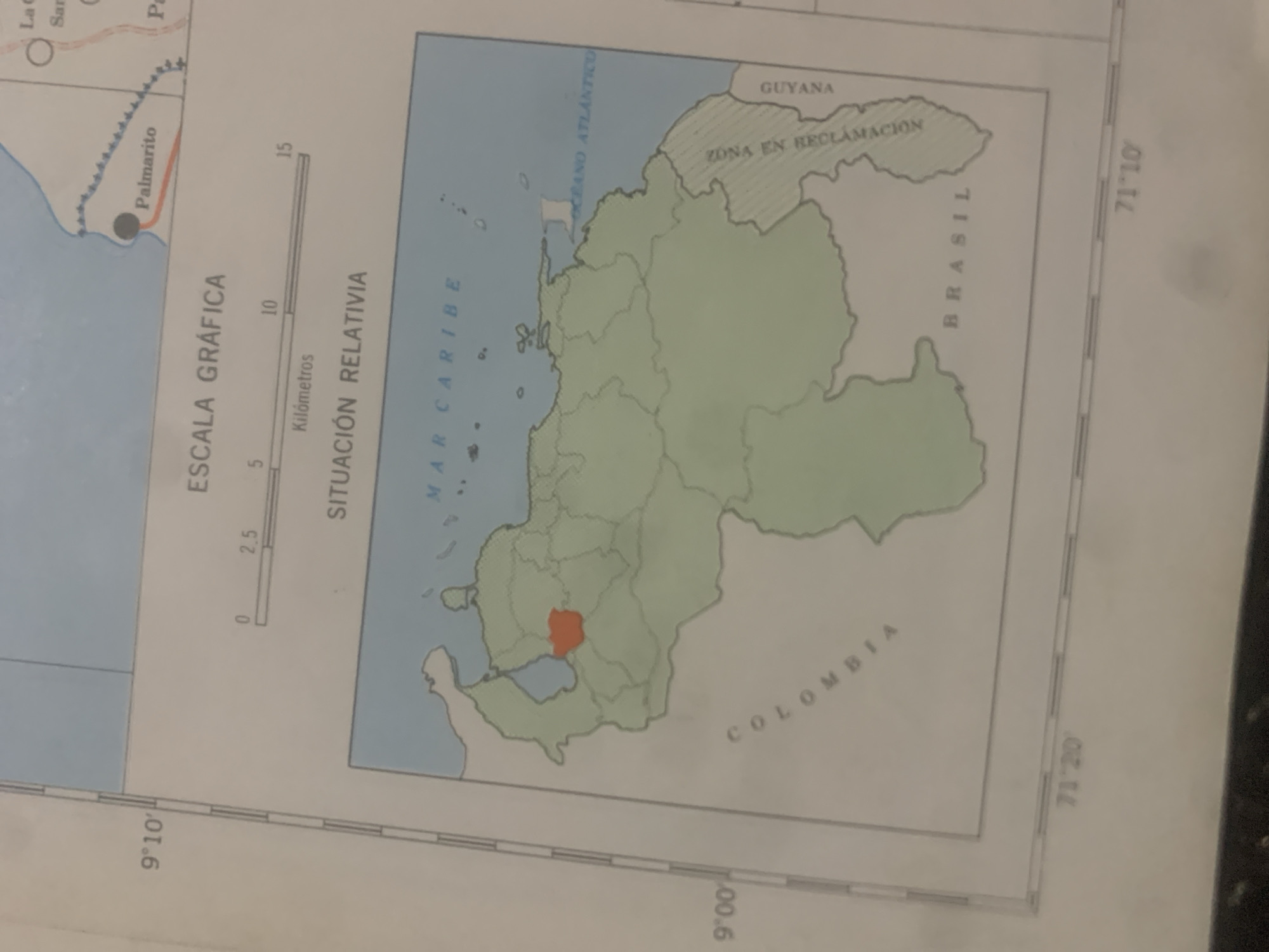
This media file is a map of Venezuela, with an inset map highlighting the country's location in South America. The map shows national borders, major bodies of water like the Caribbean Sea and Atlantic Ocean, and neighboring countries such as Guyana, Brazil, and Colombia. There is a specific region within Venezuela colored orange, indicating a particular focus or point of interest.

Visible text includes "ESCALA GRÁFICA" (Graphic Scale) with a scale bar in kilometers, "SITUACIÓN RELATIVIA" (Relative Situation), "MAR CARIBE" (Caribbean Sea), "OCEANO ATLANTICO" (Atlantic Ocean), "GUYANA", "ZONA EN RECLAMACIÓN" (Zone in Reclamation), "BRASIL", and "COLOMBIA". Latitude and longitude lines are also visible, with markings such as "9°10′", "71'20'", and "71 10". A place name "Palmarito" is also indicated.

The overall scene is that of a geographical representation of a country, likely used for educational or informational purposes. There are no people or active events depicted, but rather a static representation of territory and borders. The time of day and weather are not relevant to this type of image. The setting is a map, suggesting a geographical or cartographic context.
bombolico

Jun 25, 2026, 2:29 PM

La Tagua, Venezuela

Stake attention in this memory

curiosity
educational
informative
geographic
study

This media file is a map of Venezuela, with an inset map highlighting the country's location in South America. The map shows national borders, major bodies of water like the Caribbean Sea and Atlantic Ocean, and neighboring countries such as Guyana, Brazil, and Colombia. There is a specific region within Venezuela colored orange, indicating a particular focus or point of interest. Visible text includes "ESCALA GRÁFICA" (Graphic Scale) with a scale bar in kilometers, "SITUACIÓN RELATIVIA" (Relative Situation), "MAR CARIBE" (Caribbean Sea), "OCEANO ATLANTICO" (Atlantic Ocean), "GUYANA", "ZONA EN RECLAMACIÓN" (Zone in Reclamation), "BRASIL", and "COLOMBIA". Latitude and longitude lines are also visible, with markings such as "9°10′", "71'20'", and "71 10". A place name "Palmarito" is also indicated. The overall scene is that of a geographical representation of a country, likely used for educational or informational purposes. There are no people or active events depicted, but rather a static representation of territory and borders. The time of day and weather are not relevant to this type of image. The setting is a map, suggesting a geographical or cartographic context.

Loading AttnAds…

transactions
revenues
stakers
Earliest
Latest
Highest stake

No transactions found

More from this user

More from La Tagua

bombolico

Jun 25, 2026, 2:29 PM

La Tagua, Venezuela

Licensed under Creative Commons Attribution 4.0 International License. You are free to share and adapt this content with proper attribution.



