Stake attention in this memory
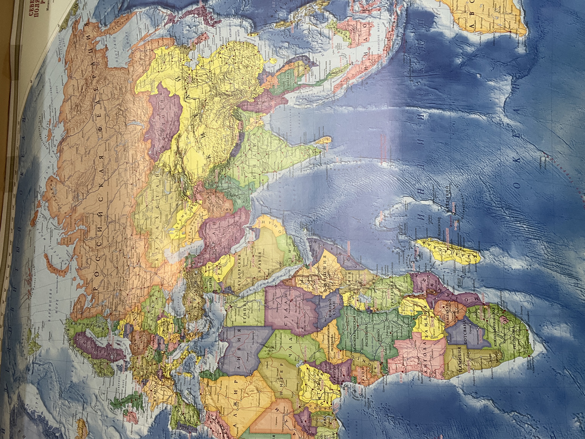
This media file presents a physical world map, primarily focusing on Eurasia and Africa, viewed from an elevated angle. The map is oriented approximately 90 degrees counter-clockwise from standard, with North pointing to the left and West towards the top. The main subjects are the continents and oceans depicted on the map. Countries are distinguished by various colors such as yellow, green, purple, orange, and brown. Oceans are rendered in shades of blue, with darker tones indicating deeper waters and relief shading illustrating underwater topography. There is no activity taking place, as the image captures a static, physical map. Notable details include the map's language, which is Russian (Cyrillic script). Prominently visible regions include the vast expanse of the "РОССИЙСКАЯ ФЕДЕРАЦИЯ" (Russian Federation) across the upper part of the image, the Indian Ocean ("ИНДИЙСКИЙ ОКЕАН") in the lower right, and a significant portion of Africa on the right side. Bodies of water like "БАРЕНЦЕВО МОРЕ" (Barents Sea), "ОХОТСКОЕ МОРЕ" (Sea of Okhotsk), and "КИТАЙСКОЕ МОРЕ" (Chinese Sea) are also labeled. Countries like "ЕГИПЕТ" (Egypt), "СУДАН" (Sudan), "ЮЖНЫЙ СУДАН" (South Sudan), "ЭФИОПИЯ" (Ethiopia), "САУДОВСКАЯ АРАВИЯ" (Saudi Arabia), "ИНДИЯ" (India), and "МАДАГАСКАР" (Madagascar) are clearly identifiable through their Cyrillic labels. The map shows minor wrinkles and folds, suggesting it's a physical, possibly laminated, wall map. "СЕВЕРНОЕ ПОЛЯРНОЕ" (Arctic Polar) is partially visible at the very top left, hinting at the full label for the Arctic Ocean. "Масштаб" (Scale) and "ABC" (likely an index or legend reference) are also visible.
No transactions found