Sign in
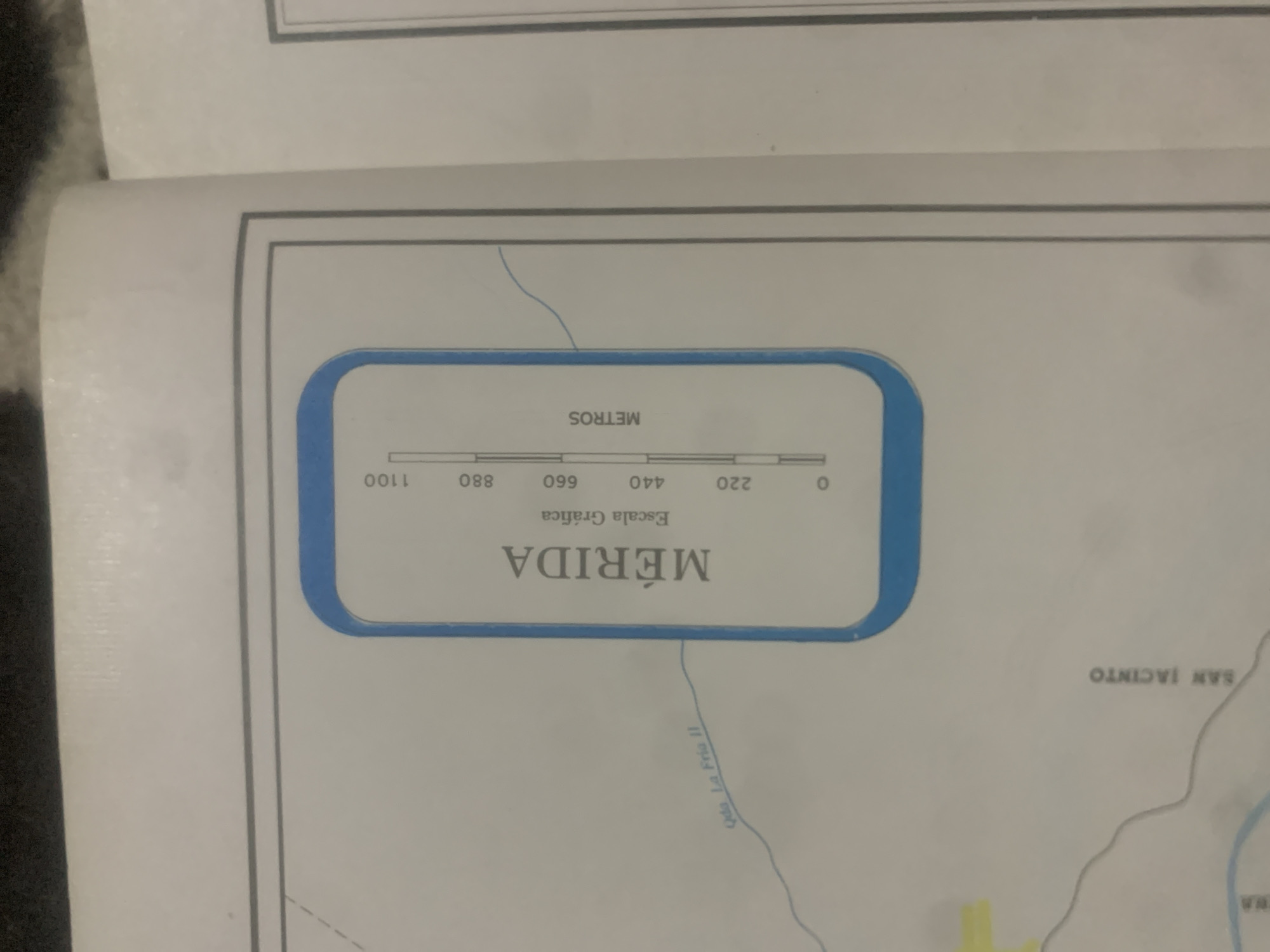
This media file displays a section of a map, likely a topographical or geographical map, focused on the area around Mérida, Venezuela. The dominant visual element is a rounded rectangular box containing a graphic scale and text. The scale is presented horizontally, marked with numbers 0, 220, 440, 660, 880, and 1100, with the word "METROS" written vertically above it, indicating it represents distance in meters. Below the scale is the text "Escala Gráfica" (Graphic Scale) and prominently, the name "MÉRIDA" is displayed in large, bold, serif font.

To the right and slightly below the graphic scale box, the text "SAN JACINTO" is visible, also oriented vertically. A thin blue line representing a river or stream meanders across the map background, with a smaller label "Qda. La Fria II" associated with it, written along its curve. The overall presentation suggests a planning, survey, or informational document. There are no people, animals, or specific time-of-day indicators present. The map appears to be printed on paper, possibly within a larger document, with faint gray lines suggesting borders or further map elements. The background is a plain, light-colored surface.
bombolico

Jun 25, 2026, 2:29 PM

La Tagua, Venezuela

Stake attention in this memory

informative
cartographic
neutral
historical
academic

This media file displays a section of a map, likely a topographical or geographical map, focused on the area around Mérida, Venezuela. The dominant visual element is a rounded rectangular box containing a graphic scale and text. The scale is presented horizontally, marked with numbers 0, 220, 440, 660, 880, and 1100, with the word "METROS" written vertically above it, indicating it represents distance in meters. Below the scale is the text "Escala Gráfica" (Graphic Scale) and prominently, the name "MÉRIDA" is displayed in large, bold, serif font. To the right and slightly below the graphic scale box, the text "SAN JACINTO" is visible, also oriented vertically. A thin blue line representing a river or stream meanders across the map background, with a smaller label "Qda. La Fria II" associated with it, written along its curve. The overall presentation suggests a planning, survey, or informational document. There are no people, animals, or specific time-of-day indicators present. The map appears to be printed on paper, possibly within a larger document, with faint gray lines suggesting borders or further map elements. The background is a plain, light-colored surface.

Loading AttnAds…

transactions
revenues
stakers
Earliest
Latest
Highest stake

No transactions found

More from this user

More from La Tagua

bombolico

Jun 25, 2026, 2:29 PM

La Tagua, Venezuela

Licensed under Creative Commons Attribution 4.0 International License. You are free to share and adapt this content with proper attribution.



