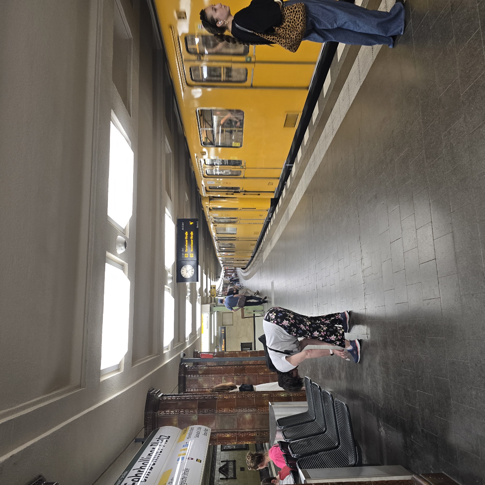
Stake attention in this memory
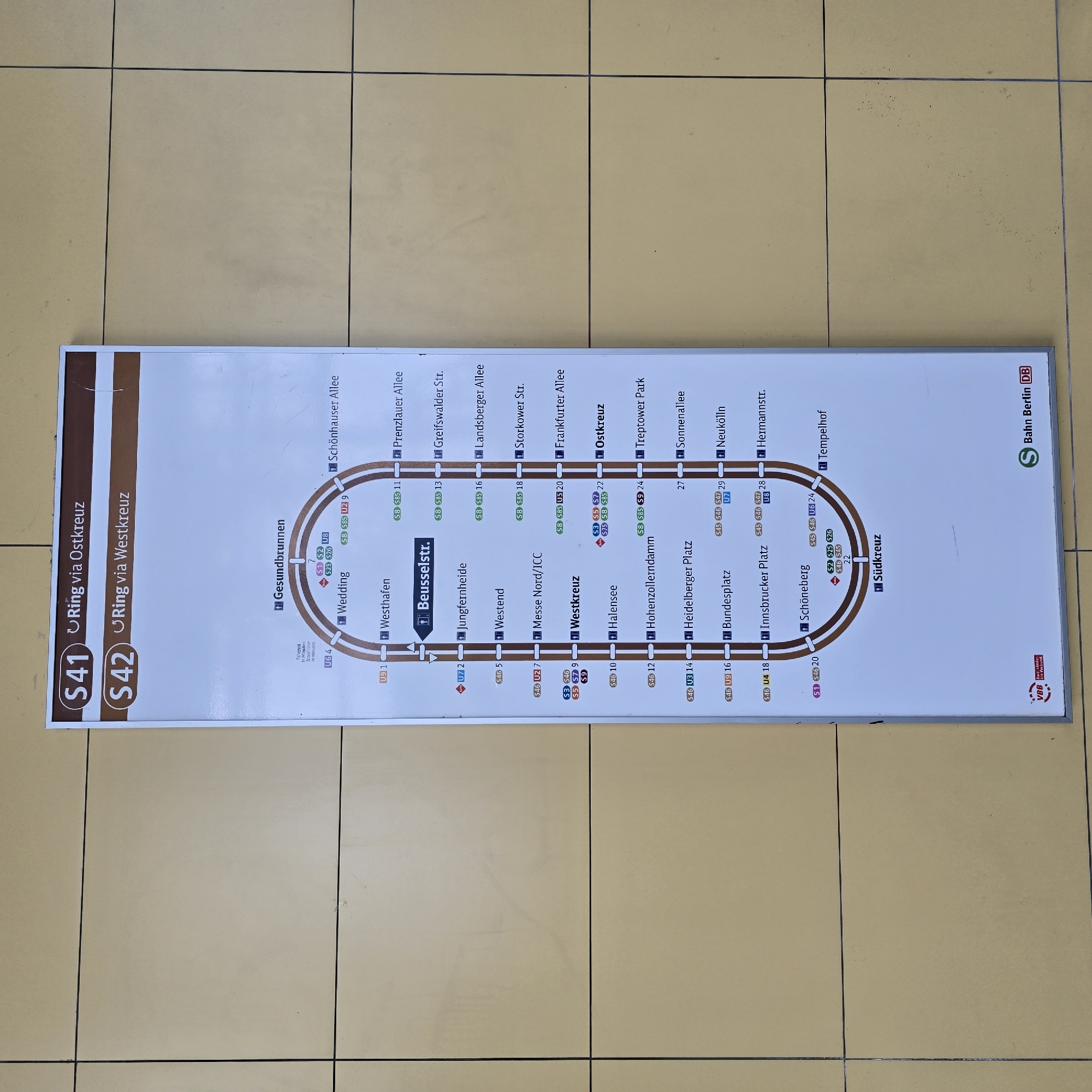
The image shows a public transport map for the S-Bahn ring lines S41 and S42 in Berlin, Germany. The map is mounted on a beige tiled wall. The map itself is a white rectangular display with a diagram of the S-Bahn ring lines. The top of the map indicates that S41 runs via Ostkreuz and S42 runs via Westkreuz. The map shows various stations along the ring, with their names and associated S-Bahn and U-Bahn lines. The stations are arranged in a circular pattern, representing the ring lines. At the bottom of the map, there are logos for "VBB Zwei Länder, Ein Verbund" and "S Bahn Berlin DB". The environment appears to be an indoor public space, likely a train station or a public transport information area, given the presence of the map and the tiled wall. There are no people or visible actions in the image.
No transactions found