Stake attention in this memory
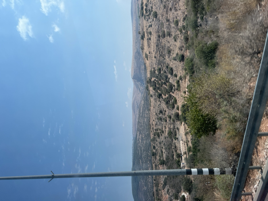
The image presents a wide view of an arid, hilly landscape under a clear blue sky with sparse, high-level white clouds, consistent with the Galil Elyon Regional Council, Israel. In the immediate foreground, a metallic guardrail is visible at the bottom edge, indicating a roadside vantage point. To the left, a tall, grey utility pole with black and white horizontal stripes near its base extends vertically, partially cropped at the top. The terrain in the midground consists of undulating hills covered primarily with dry, light-brown vegetation, interspersed with darker green, low-lying shrubs and small trees. A light-colored dirt path or road winds through the mid-left portion of the landscape, leading towards a small cluster of light-colored, possibly temporary, structures. In the background, more distant hills and mountains are visible, with varying densities of vegetation. A prominent, large, relatively barren rock formation or cliff face is discernible in the distant center-right. Faint outlines of a settlement or structures can be observed on a ridge in the far distant left. No people, discernible actions, or direct interactions are visible within the scene. The environment appears dry and sunlit.
Loading AttnAds…
No transactions found