Stake attention in this memory
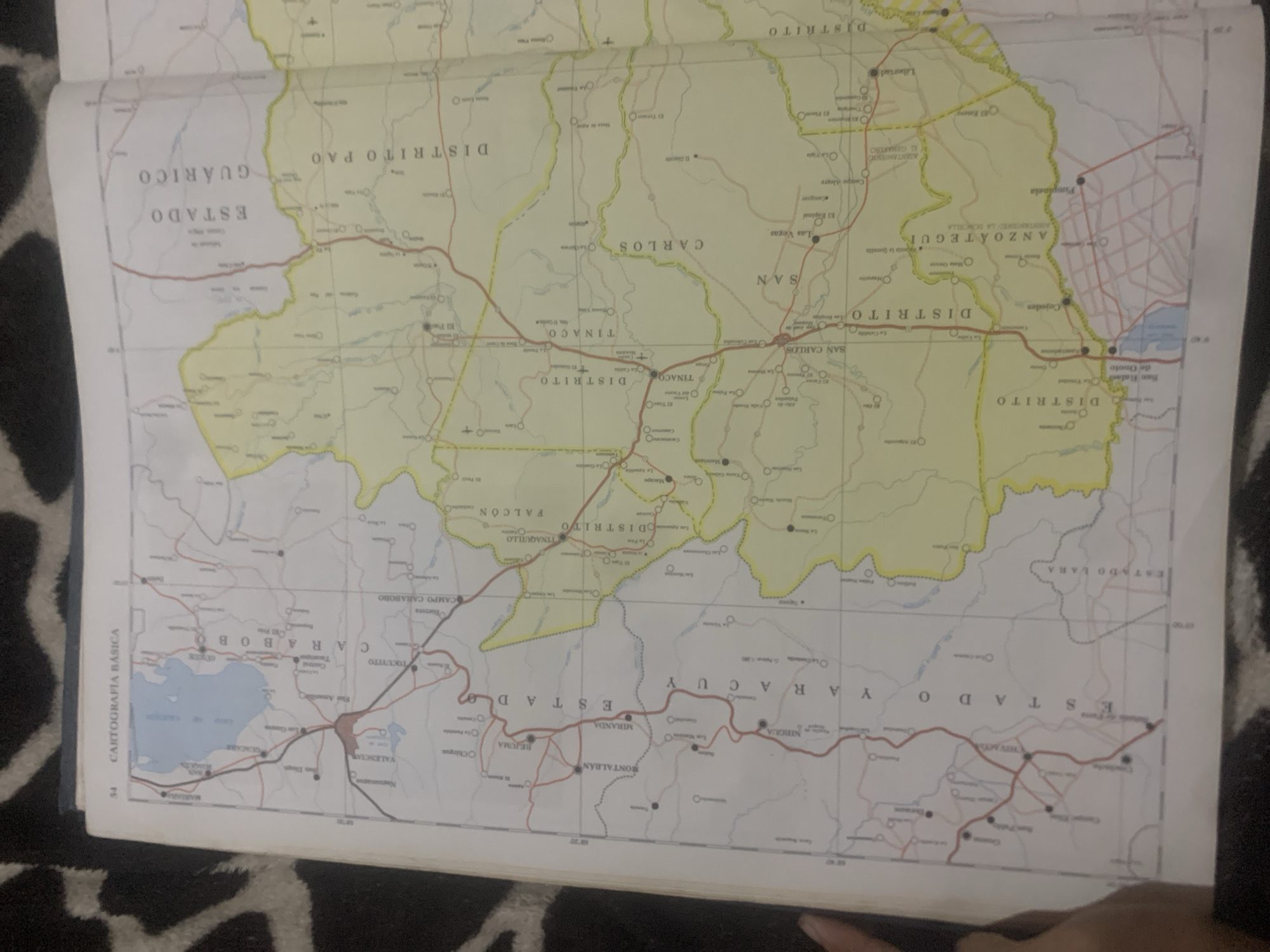
This media file is a close-up shot of a portion of a map, likely a road atlas or geographical map. The map displays various administrative divisions, indicated by different colored borders and labels. Prominently visible are the names of states and districts such as "ESTADO GUÁRICO," "DISTRITO PAO," "ESTADO YARACUY," "DISTRITO SAN CARLOS," "DISTRITO TINACO," "ESTADO CARABOBO," and "DISTRITO ANZOATEGUI." The map also shows numerous towns and cities, indicated by circles, and roads, depicted as red and black lines. A significant body of water, likely a lake or reservoir, is visible on the left side of the map, labeled "Lago de Valencia" or similar. The text "CARTOGRAFÍA BÁSICA" is also present, suggesting the map's purpose. The map is spread open, with a dark patterned surface, possibly fabric, visible beneath it. A hand is partially visible at the bottom right corner, suggesting someone is holding or interacting with the map. The lighting appears to be indoor, with a slight glare on the map surface. No specific time of day or weather conditions can be determined from the image.
Symbol
B90B5
Volume
11,550
Creator
+$0.03
Revenue
+$0.04
TVL
$2.40
Loading AttnAds…

2

Rev Bot 🤖💰
Injected revenue 2mo ago
“Revenue bonus for the last stake.”
+$0.05 USD





