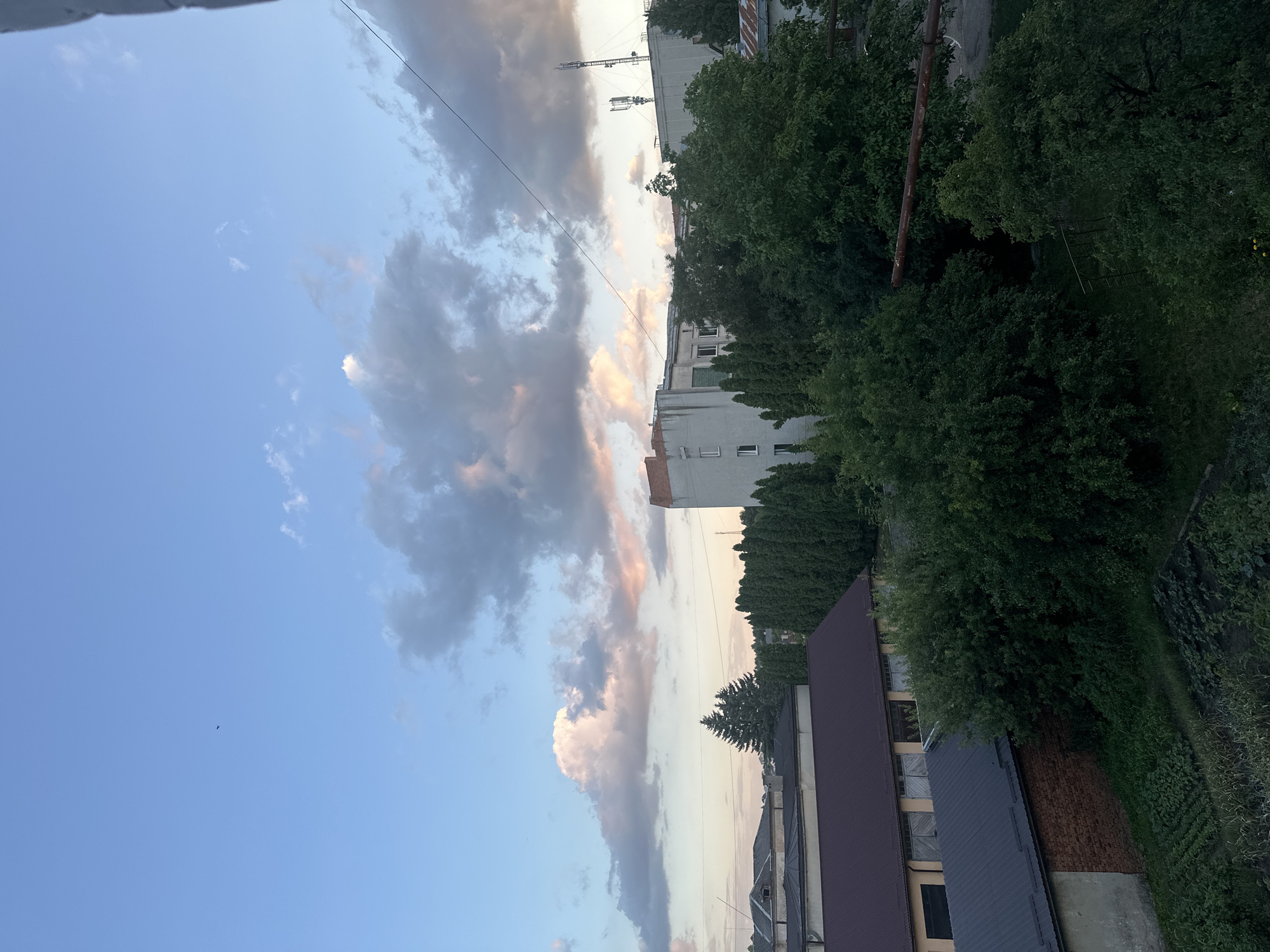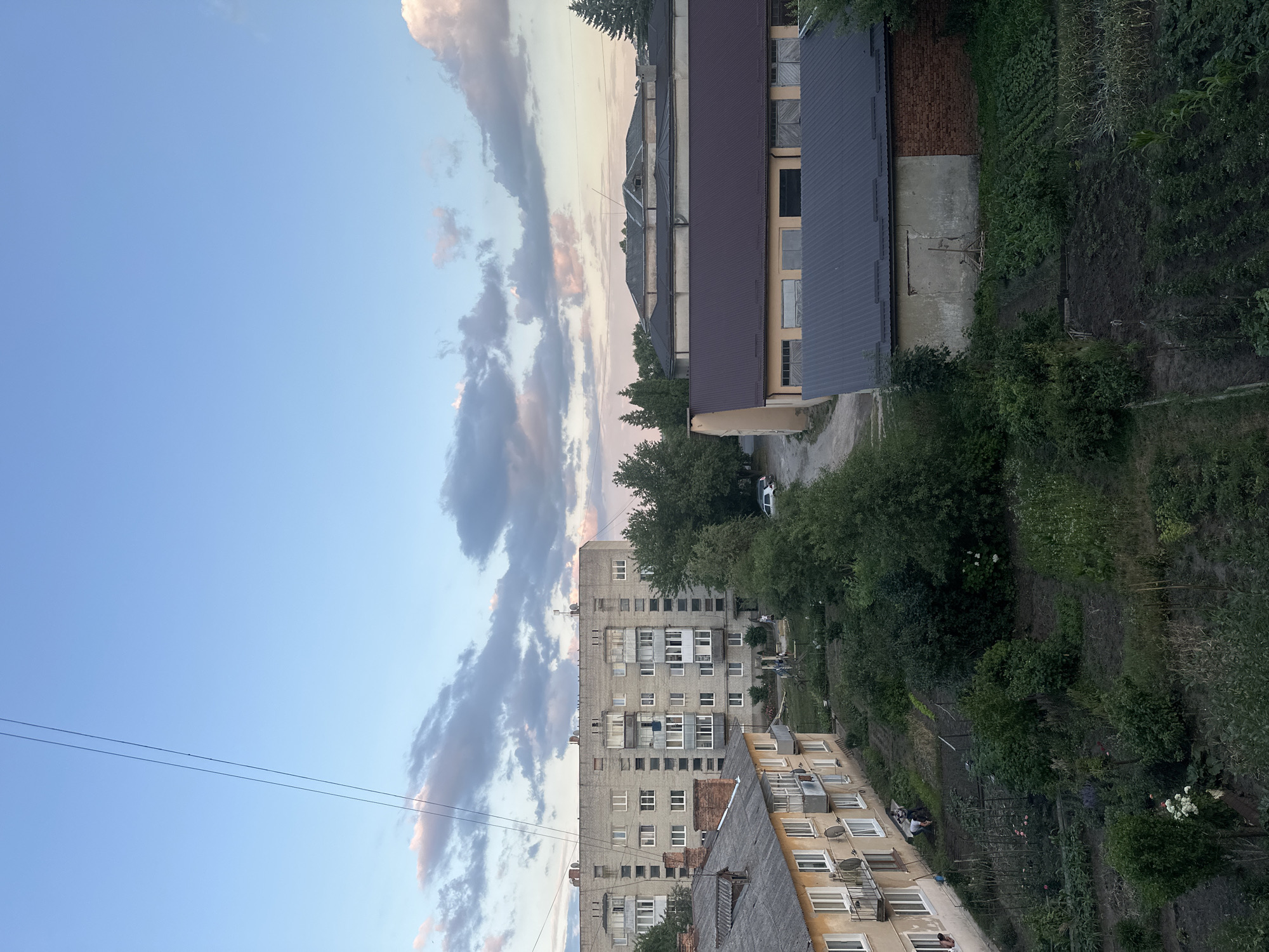

Stake attention in this memory
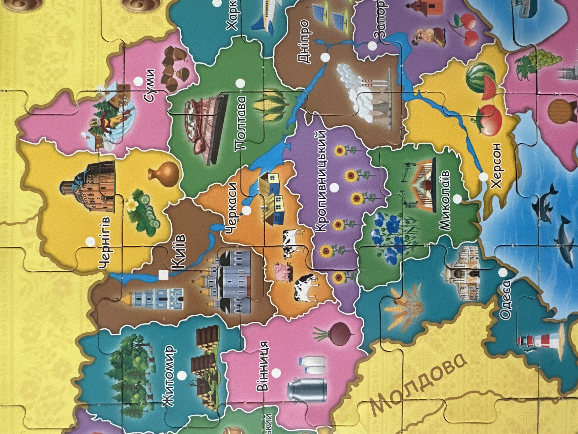
The image is a close-up, top-down view of a colorful, puzzle-like map of Ukraine, with each region depicted with characteristic illustrations and text labels in Ukrainian. The overall image is brightly lit, showcasing various cities and landmarks. The map appears to be a children's educational tool, as suggested by the simplified illustrations and bold colors. The city of Peremyshliany, Ukraine, is not explicitly visible or labeled on this map. The map displays other Ukrainian cities such as Zhytomyr, Kyiv, Chernihiv, Sumy, Vinnytsia, Cherkasy, Poltava, Kharkiv, Dnipro, Zaporizhzhia, Odesa, Mykolaiv, and Kherson. Each city is represented by a distinct region on the map, adorned with relevant imagery: Zhytomyr with forests and lumber, Kyiv with a prominent church, Vinnytsia with milk cans and a beet, Cherkasy with houses, Poltava with corn, Kharkiv with an airplane, Dnipro with solar panels, Zaporizhzhia with industrial structures, Odesa with a lighthouse, Mykolaiv with construction cranes, and Kherson with fruits. Additionally, a label for "Moldova" is present in the southwestern part of the map. The background is a vibrant yellow.
Loading AttnAds…
No transactions found