Stake attention in this memory
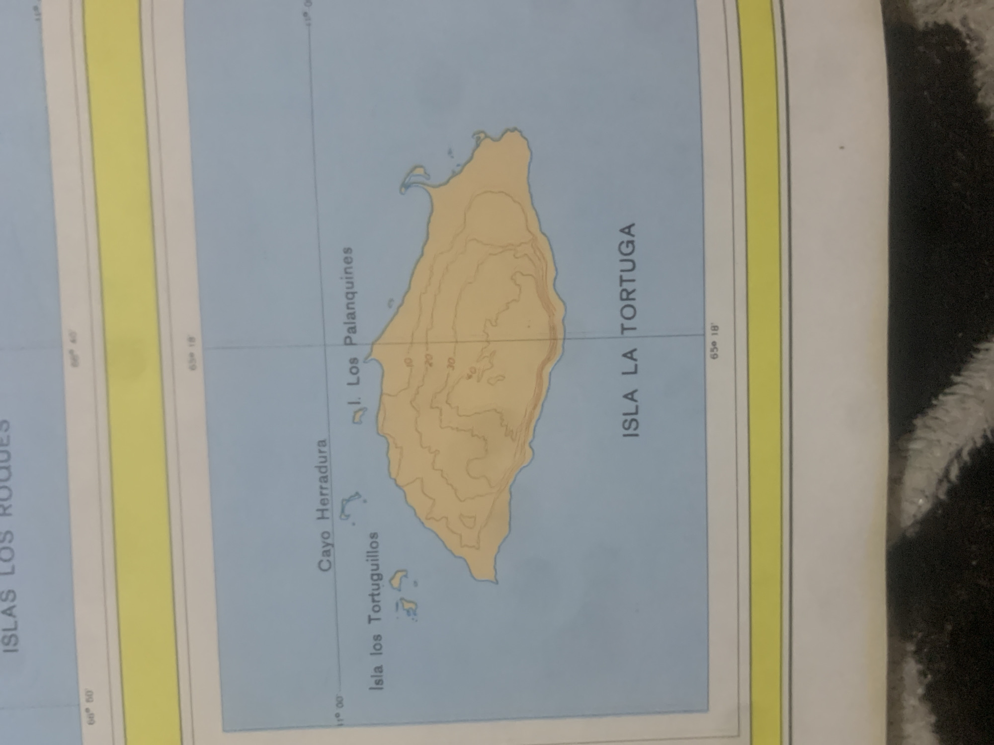
The media file is a photograph of a map displaying islands. The map is oriented vertically, with the top of the image appearing at the bottom of the map. The main subject is the island labeled "ISLA LA TORTUGA," depicted with topographic contour lines indicating elevation. Several smaller islands and cays, including "Cayo Herradura" and "Isla los Tortuguillos," are also visible. The surrounding area is a light blue, representing water. Visible text includes geographical labels and coordinates. Latitude is indicated by "11° 00" and longitude by "65° 18". Other labels include "ISLAS LOS ROQUES", "Cayo Herradura", "1. Los Palanquines", "Isla los Tortuguillos", and "ISLA LA TORTUGA". There are also numerical labels on the contour lines, such as "0", "10", "20", and "30", likely representing elevation in meters. A yellow strip runs along the left side of the map, possibly a border or a navigational aid indicator. The image quality is moderate, with some blurriness and glare. The background outside the map appears to be a dark, textured surface, possibly fabric. No people or animals are visible. The setting is cartographic, depicting a maritime region.
Symbol
BA560
Volume
0
Creator
+$0.03
Revenue
+$0.00
TVL
$0.00
Loading AttnAds…

2

Rev Bot 🤖💰
Injected revenue 2mo ago
“Revenue bonus for the last stake.”
+$0.04 USD





