
Stake attention in this memory
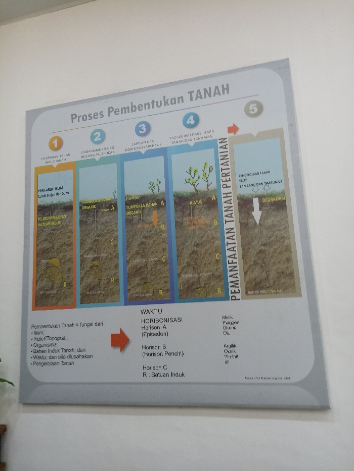
The image shows a diagram explaining the process of soil formation and its subsequent use in agriculture. The diagram, printed on a white, rectangular board with a grey frame, is hung on a wall. The diagram is divided into five sections, each labeled with a number, from 1 to 5, and a title explaining the different stages of soil formation. In the first section, the topic is “Pelapukan Bahan Induk Tanah”. In the second section, the topic is “Organisme & Org. Diuing Pelapukan”. In the third section, the topic is "Lapisan dan Horison Terbentuk". In the fourth section, the topic is “Proses Interaksi Hara, Tanah dan Tanaman”. In the fifth section, the topic is “Pemanfaatan Tanah Pertanian”. The diagram shows different stages of soil formation, using illustrations and diagrams. There are different stages of soil formation, indicated by arrows and descriptions. There are also some text explanations about the process of soil formation and its utilization in agriculture. The diagram is located at the coordinates -6.604 latitude and 106.798 longitude, which is in the city of Bogor, Indonesia.
Loading AttnAds…
No transactions found