
Stake attention in this memory
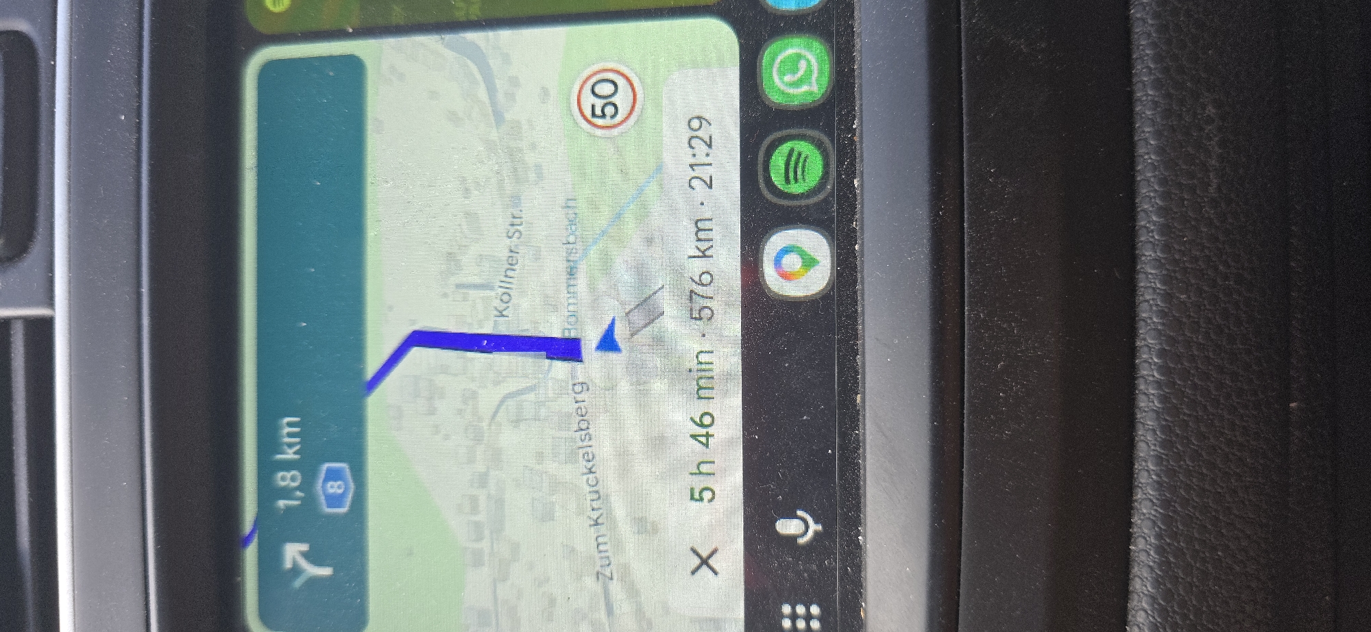
The image displays a navigation screen, likely from a car's infotainment system, showing a map with a route highlighted in blue. The screen indicates a distance of 1.8 km to the next turn, with the number 8 in a blue shield, suggesting a highway or main road. The route appears to be heading towards "Zum Kruckelsberg." Below the map, a journey summary shows an estimated time of 5 hours and 46 minutes and a total distance of 576 km, with an arrival time of 21:29. A speed limit sign for 50 km/h is visible on the right side of the map. At the bottom of the screen, icons for Google Maps, Spotify, and WhatsApp are displayed, along with a grid icon and a microphone icon, indicating potential app shortcuts. The screen is mounted in a car dashboard, with the texture of the dashboard visible. The context of Schwalbach, Germany is provided as the location.
Loading AttnAds…
No transactions found