Stake attention in this memory
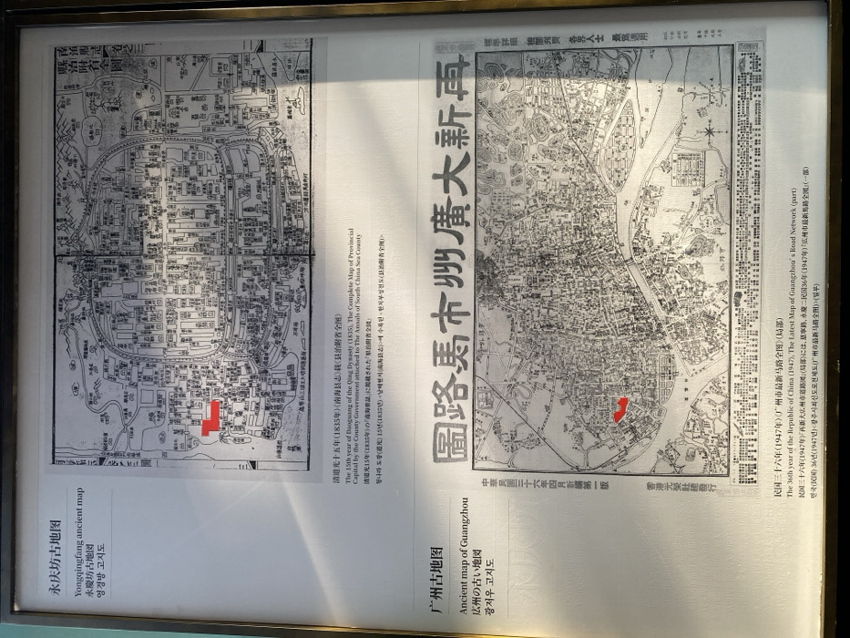
The image displays two historical black-and-white maps of Guangzhou, China, presented side-by-side in a framed exhibit, likely in a museum or historical display. A strong reflection from a light source is visible on the glass covering the display, particularly over the right map. The map on the left, titled "永庆坊古地图" (Yongqingfang ancient map), depicts a detailed urban layout from the Qing Dynasty. Its description identifies it as "The 15th year of Daoguang of the Qing Dynasty (1835), The Complete Map of Provincial Capital by the County Government attached to The Annals of South China Sea County". This map shows a densely built-up area with numerous structures and a visible water channel. A red rectangular highlight marks a specific district near the water. The map on the right, labeled "广州古地图" (Ancient map of Guangzhou), bears the larger title "圖路馬市州廣大新再" (Guangzhou New Road Map). Its accompanying text indicates it is from "The 36th year of the Republic of China (1947), The Latest Map of Guangzhou's Road Network (part)". This map shows a broader area of Guangzhou, featuring a prominent river (likely the Pearl River) and a more extensive, gridded road network, reflecting urban development over time. A red highlight on this map also indicates a specific riverside area, potentially corresponding to the location marked on the earlier map. Both maps include descriptions in Chinese, English, Japanese, and Korean. The display provides a comparative view of Guangzhou's urban landscape across approximately 112 years, highlighting changes in city planning and infrastructure, especially roads. The publisher information on the right map states "中華民國三十六年四月新編第一版" (First edition, April, 36th year of the Republic of China) and "香港光榮社總發行" (Hong Kong Glorious Society General Distribution). The bottom-right text mentions "標準詳機關刊 各界人士 最爲適用" (Standard detailed official publication, most suitable for all sectors of society).
Loading AttnAds…
No transactions found