
Stake attention in this memory
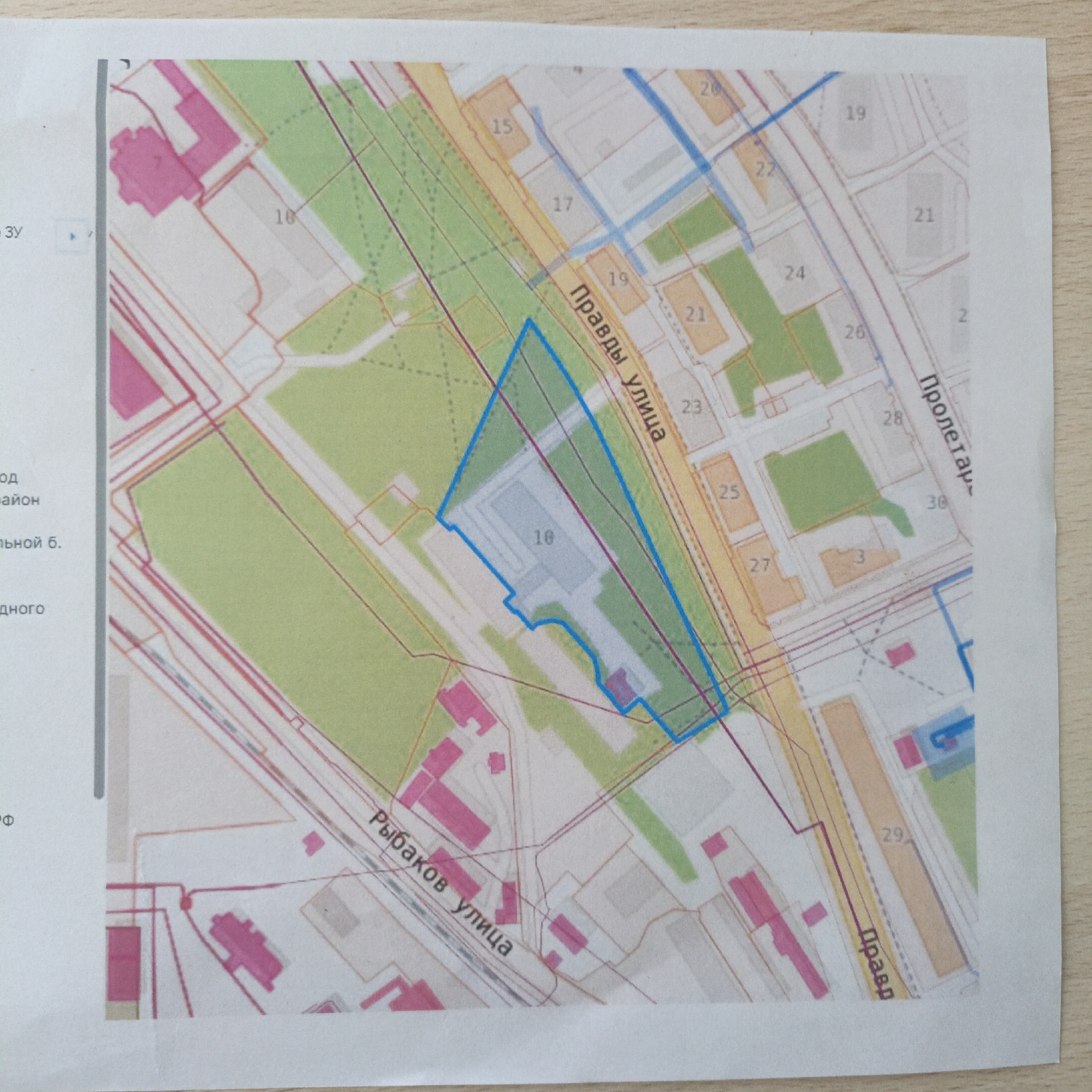
The image is a section of a printed map, possibly a city plan, featuring streets, buildings, and designated areas. The map includes segments of "Правды улица" (Pravdy Street), "Рыбаков улица" (Rybakov Street), and a portion of "Пролетар-" (Proletar-), likely a street name truncated at the edge of the paper. Buildings are marked with numbers (15, 17, 19, 21, 22, 23, 24, 25, 26, 27, 28, 29, 30). The building labeled "10" is enclosed within a blue outlined area. The map uses different colors (green, pink, orange) to differentiate between types of areas or buildings. The map appears to be from a location in Sevastopol, Ukraine, based on the Russian language used and the street names. Other elements include a portion of what could be an interactive display with a light gray frame and the letters "ЗУ" and the word endings "од," "айон," "льной б.," "дного," and the letter "Ф".
Symbol
BB4AF
Volume
8,298
Creator
+$0.00
Revenue
+$0.00
TVL
$1.20
Loading AttnAds…