Stake attention in this memory
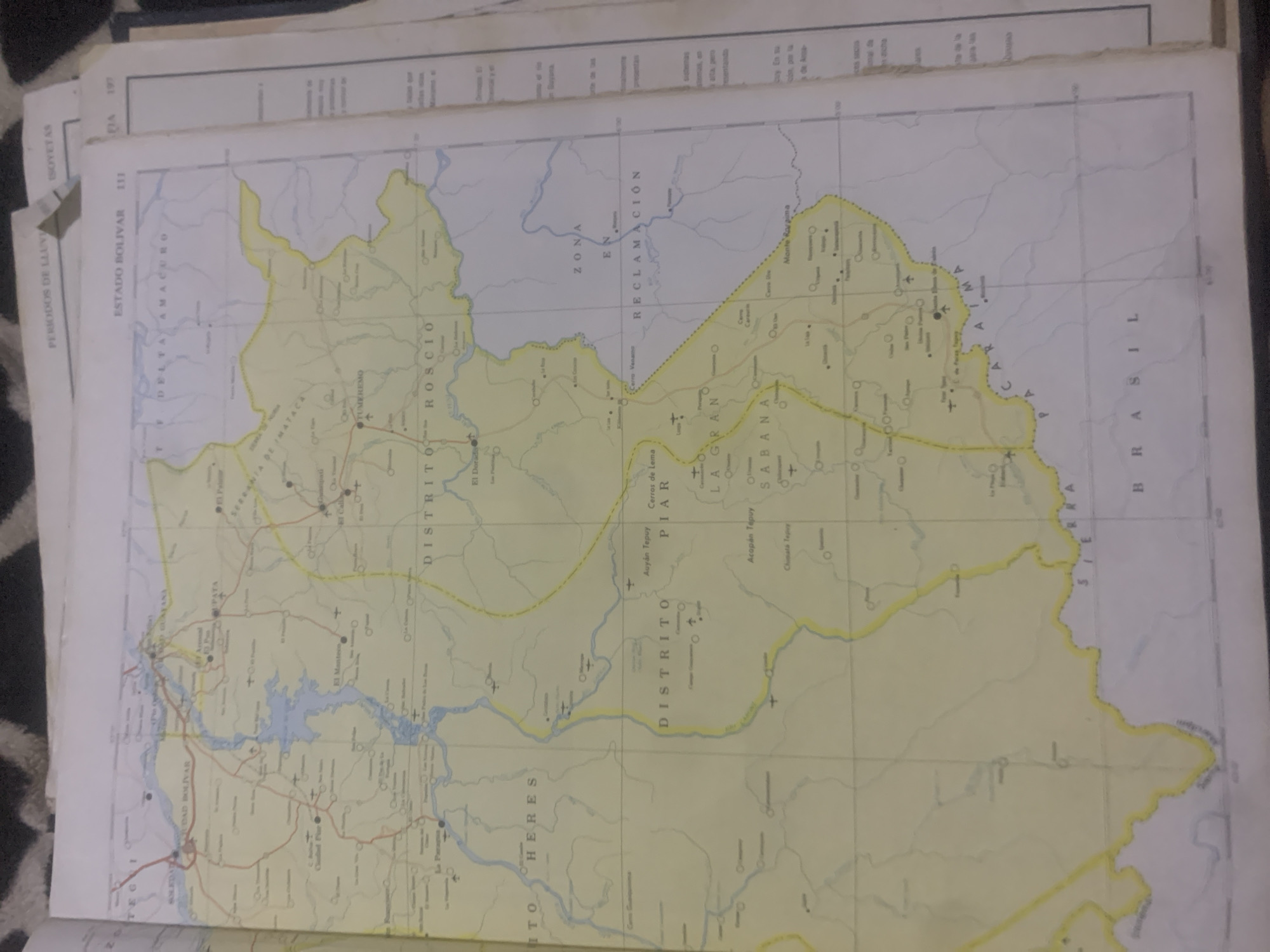
This is a photograph of a map, likely taken from a book or atlas. The map depicts a region in Venezuela, specifically focusing on the Estado Bolívar and Delta Amacuro territories. The map is oriented with the top edge of the image corresponding to the north. The central focus of the map is a network of rivers and waterways, including a large body of water that appears to be a reservoir or lake on the left side of the image. Several towns and districts are labeled, such as "CIUDAD BOLIVAR," "DISTRITO ROSCIO," and "DELTA AMACURO." There are also topographical features indicated, including "CERROS DE LEMA," "ZONA EN RECLAMACIÓN," and "SABANA." Mountainous regions are also visible, with labels like "MONTE RAGAMA" and specific peaks like "AUYAN TEPUY." A border with "BRASIL" is clearly marked along the right edge of the map. The map is printed on yellowed paper, suggesting it might be an older document. The text on the map is in Spanish. In addition to the map itself, the photograph also shows parts of the surrounding pages, including the title "PERIODOS DE LLUVIA" (Rainy Periods) and "ISOYETAS" (Isohyets, lines connecting points of equal rainfall) on overlapping pages. There are also page numbers and section headers visible. The overall scene is of an open map spread out, possibly being studied or consulted. There are no people visible. The lighting appears to be ambient, with no strong shadows, suggesting it was taken indoors or on an overcast day. The quality of the image is somewhat grainy, and the focus is not perfectly sharp across the entire map.
Symbol
BBD69
Volume
0
Creator
+$0.03
Revenue
+$0.00
TVL
$0.00
Loading AttnAds…

2

Rev Bot 🤖💰
Injected revenue 2mo ago
“Revenue bonus for the last stake.”
+$0.05 USD





