Stake attention in this memory
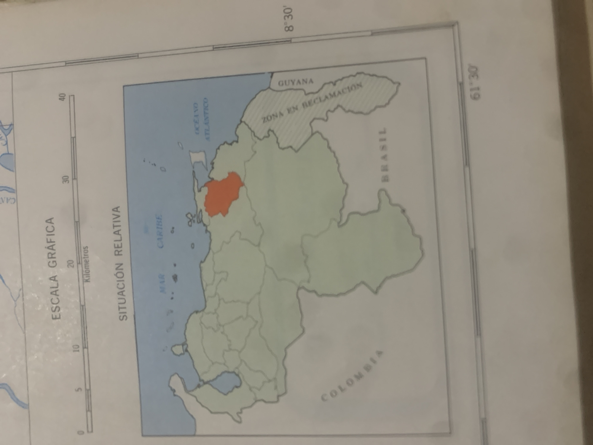
This media file is a photograph of a map, likely from an atlas or textbook. The map depicts the northern part of South America, with a focus on Venezuela and its surrounding regions. A prominent feature is the highlighted area in orange within Venezuela, suggesting it's the subject of interest. The map displays several geographical and political divisions. The Caribbean Sea and the Atlantic Ocean are labeled. Borders of countries like Guyana, Brazil, and Colombia are visible, with the "ZONA EN RECLAMACION" (Zone in Reclamation) area near Guyana being particularly noted. The map also includes a scale bar labeled "ESCALA GRÁFICA" (Graphical Scale) in kilometers, with markings from 0 to 40. Text on the map includes place names such as "OCEANO ATLANTICO," "GUYANA," "ZONA EN RECLAMACION," "BRASIL," "COLOMBIA," "MAR CARIBE," and "SITUACIÓN RELATIVA" (Relative Situation). Latitude and longitude lines are also indicated, with readings of "8°30'" and "61°30'". The overall scene is that of an educational or informational map, likely used to illustrate geopolitical claims or geographical features of Venezuela and its neighbors. There are no people or specific events depicted, only the static representation of geographical data. The lighting suggests the photograph was taken indoors, possibly under natural or artificial light, with no indication of time of day or weather. The location context "La Tagua, Venezuela" is not directly visible on the map but is provided as external information.
Symbol
BD50D
Volume
0
Creator
+$0.03
Revenue
+$0.00
TVL
$0.00
Loading AttnAds…

2

Rev Bot 🤖💰
Injected revenue 2mo ago
“Revenue bonus for the last stake.”
+$0.05 USD





