Stake attention in this memory
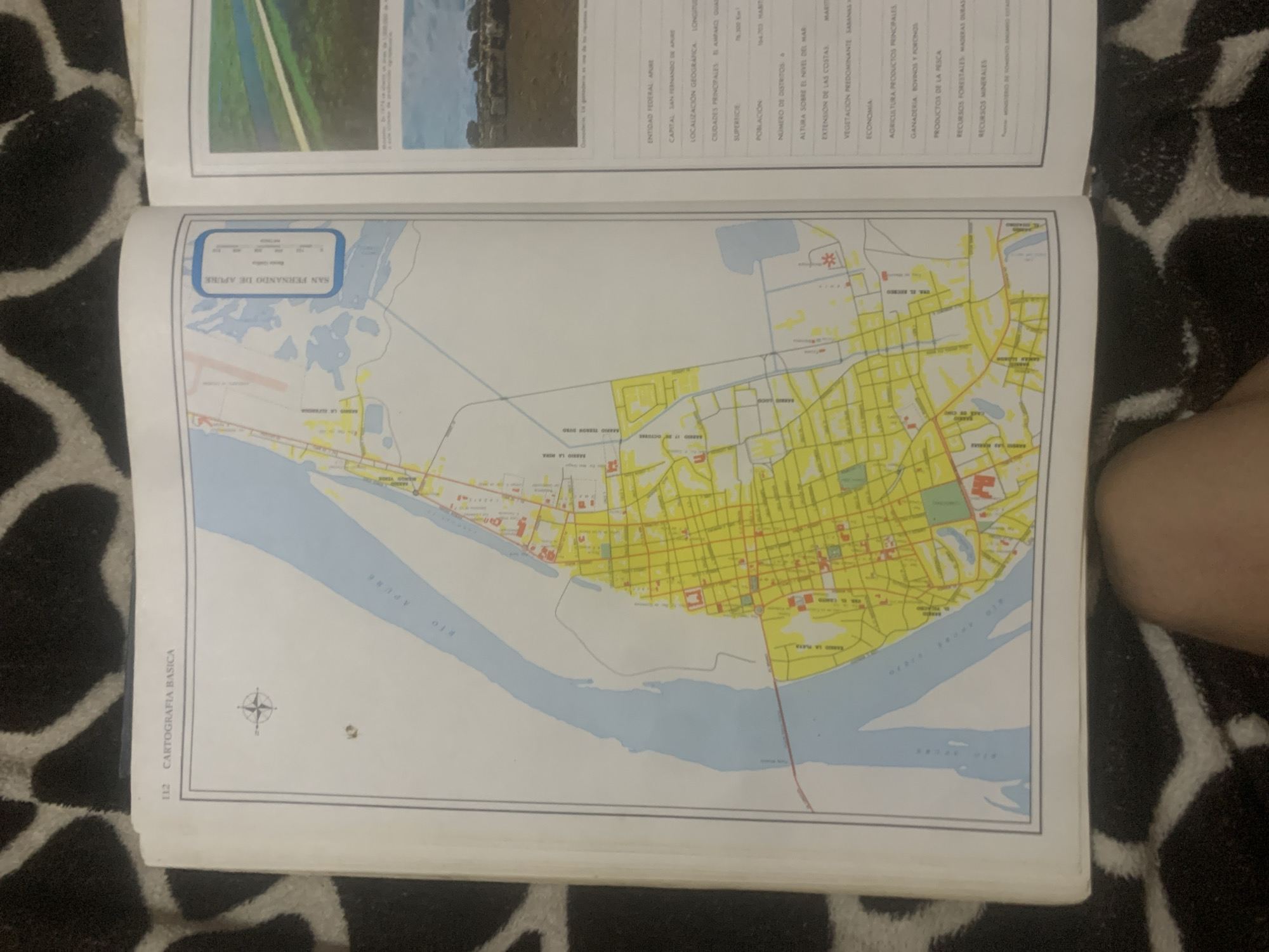
This media file is a photograph of an open book displaying a map of San Fernando de Apure, Venezuela. The map shows the city laid out with a grid of streets and buildings in yellow, adjacent to a blue river labeled "RIO APURE" and "RIO DE LA PLATA". Several neighborhoods are indicated on the map with names such as "BARRIO LA MERA" and "BARRIO TIERRA DORO". To the left of the map, there is a sidebar with descriptive text. Notable visible text includes "SAN FERNANDO DE APURE", "ENTIDAD FEDERAL APURE", "CAPITAL SAN FERNANDO DE APURE", "LOCALIZACIÓN GEOGRAFICA", "CIUDADES PRINCIPALES", "SUPERFICIE", "POBLACIÓN", "ALTURA SOBRE EL NIVEL DEL MAR", "EXTENSIÓN DE LAS COSTAS", "VEGETACION PREDOMINANTE SABANAS", and "ECONOMIA" followed by agricultural and resource-related categories. The page number "112" and the label "CARTOGRAFIA BASICA" are also visible. In the upper part of the book, there is a small image of a landscape that appears to be a body of water with green banks. A compass rose is visible on the map, indicating orientation. The book is placed on a black and white patterned surface, likely a blanket or rug, and a person's leg is visible in the lower right corner of the frame. The lighting suggests the photograph was taken indoors.
Symbol
BDB88
Volume
0
Creator
+$0.03
Revenue
+$0.00
TVL
$0.00
Loading AttnAds…

2

Rev Bot 🤖💰
Injected revenue 2mo ago
“Revenue bonus for the last stake.”
+$0.05 USD





