Sign in
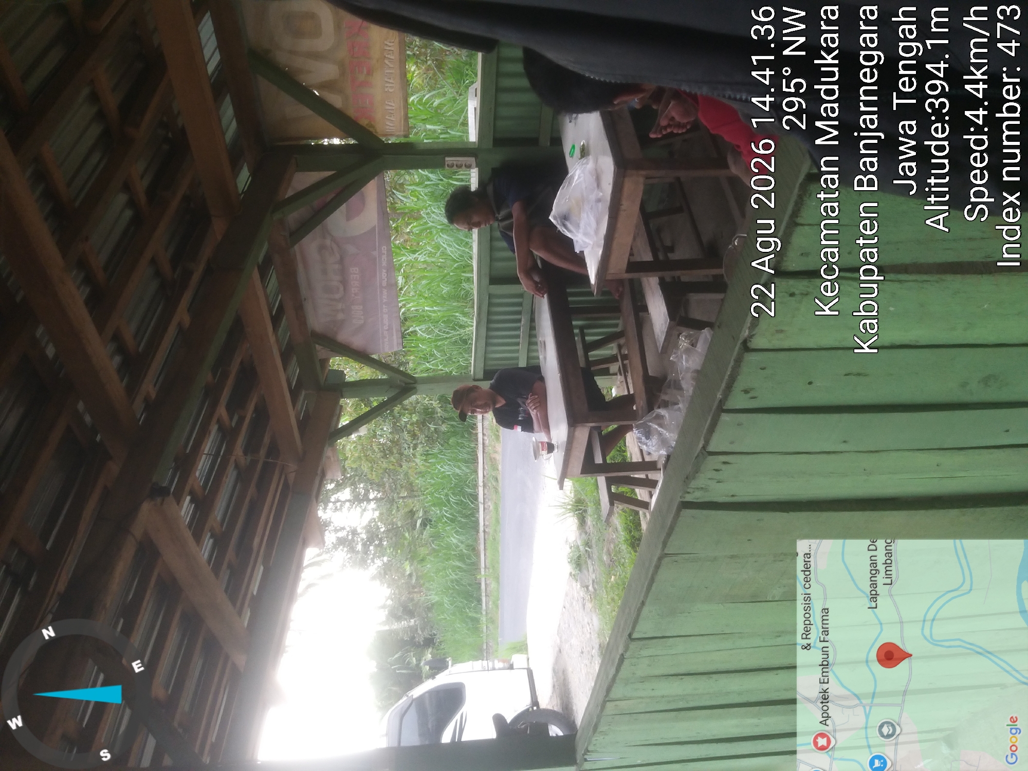
This is an outdoor, eye-level photograph taken from under a covered structure, likely a food stall or rest area. In the foreground, a light green painted wooden fence runs horizontally. To the left of the image, a portion of a white van and a motorcycle are visible. In the middle ground, two men are seated at separate wooden tables. One man, wearing a dark shirt and a cap, is seated at a table on the right, facing left, with a cup of coffee in front of him. Another man, wearing a dark shirt, is seated at a table on the left, facing right, with his legs crossed. In the background, tall green grass and trees are visible, suggesting a rural or semi-rural setting. A road is visible behind the van and the men. Overlaid on the image are several data points: a date and time "22 Agu 2026 14.41.36", a compass direction "295° NW", a location reading "Kecamatan Madukara Kabupaten Banjarnegara Jawa Tengah", an altitude of "394.1m", a speed of "4.4km/h", and an "Index number: 473". A Google Maps inset on the lower left shows a red marker indicating a location in "Limbangan" and a point labeled "Apotek Embun Farma", with the text "& Reposisi cedera..." visible above it. The overall lighting suggests it is daytime, possibly overcast or with the sun low in the sky.
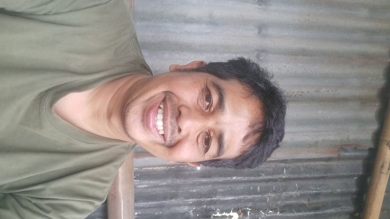
Nasrulloh

Aug 22, 2026, 7:41 AM

Limbangan, Indonesia

Moment

Stake attention in this memory

contemplative
relaxed
mundane
tropical
simple

This is an outdoor, eye-level photograph taken from under a covered structure, likely a food stall or rest area. In the foreground, a light green painted wooden fence runs horizontally. To the left of the image, a portion of a white van and a motorcycle are visible. In the middle ground, two men are seated at separate wooden tables. One man, wearing a dark shirt and a cap, is seated at a table on the right, facing left, with a cup of coffee in front of him. Another man, wearing a dark shirt, is seated at a table on the left, facing right, with his legs crossed. In the background, tall green grass and trees are visible, suggesting a rural or semi-rural setting. A road is visible behind the van and the men. Overlaid on the image are several data points: a date and time "22 Agu 2026 14.41.36", a compass direction "295° NW", a location reading "Kecamatan Madukara Kabupaten Banjarnegara Jawa Tengah", an altitude of "394.1m", a speed of "4.4km/h", and an "Index number: 473". A Google Maps inset on the lower left shows a red marker indicating a location in "Limbangan" and a point labeled "Apotek Embun Farma", with the text "& Reposisi cedera..." visible above it. The overall lighting suggests it is daytime, possibly overcast or with the sun low in the sky.

Loading AttnAds…

transactions
revenues
stakers
Earliest
Latest
Highest stake

No transactions found

More from this user

More from Limbangan

Nasrulloh

Aug 22, 2026, 7:41 AM

Limbangan, Indonesia

Licensed under Creative Commons Attribution 4.0 International License. You are free to share and adapt this content with proper attribution.