Stake attention in this memory
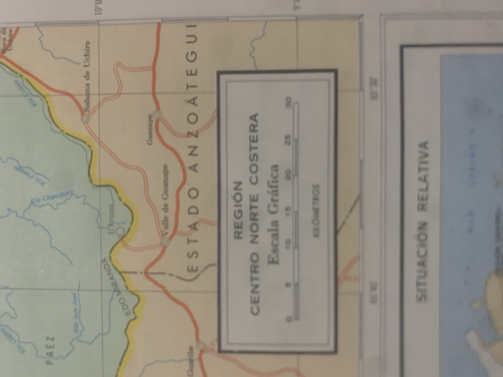
This is a close-up of a map of Venezuela, specifically focusing on the coastal region of the Anzoátegui state. The map displays geographical features such as rivers (Río Chipaquire, Río San Just, Río Panuge, Río Cuchire) and settlements (La Tagua, Sabana de Uchire, Guanape, El Amparo, Valle de Guanape). A prominent feature is the highlighted administrative division labeled "ESTADO ANZOÁTEGUI". Within the map, there is a smaller inset box titled "REGIÓN CENTRO NORTE COSTERA" which includes a graphic scale in kilometers, indicating distances from 0 to 30. The scale shows increments of 5, 10, 15, 20, 25, and 30 kilometers. Another section of the map is labeled "SITUACION RELATIVA," suggesting a relative positioning or context. Geographical coordinates are visible on the edges of the map. Along the top edge, "10°0" is displayed, likely indicating latitude. On the right edge, "9°4" and "65°30'" are visible, potentially representing latitude and longitude respectively. The map's colors are muted, with yellow and light blue indicating different land and water areas, and red lines marking roads. The overall scene is that of a detailed cartographic representation of a specific region, likely for informational or navigational purposes. There are no people or specific events depicted, only the static representation of geographical information. The time of day and weather are not discernible from the image.
Symbol
BE664
Volume
0
Creator
+$0.03
Revenue
+$0.00
TVL
$0.00
Loading AttnAds…

2

Rev Bot 🤖💰
Injected revenue 2mo ago
“Revenue bonus for the last stake.”
+$0.06 USD





